| |
Harrisburg, Pennsylvania
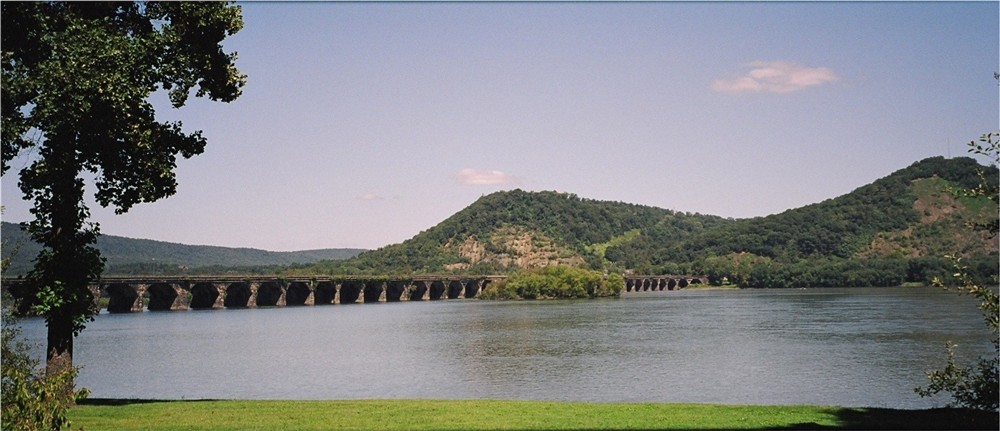
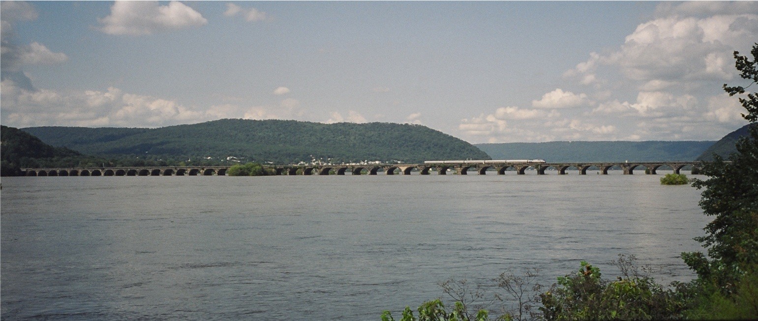
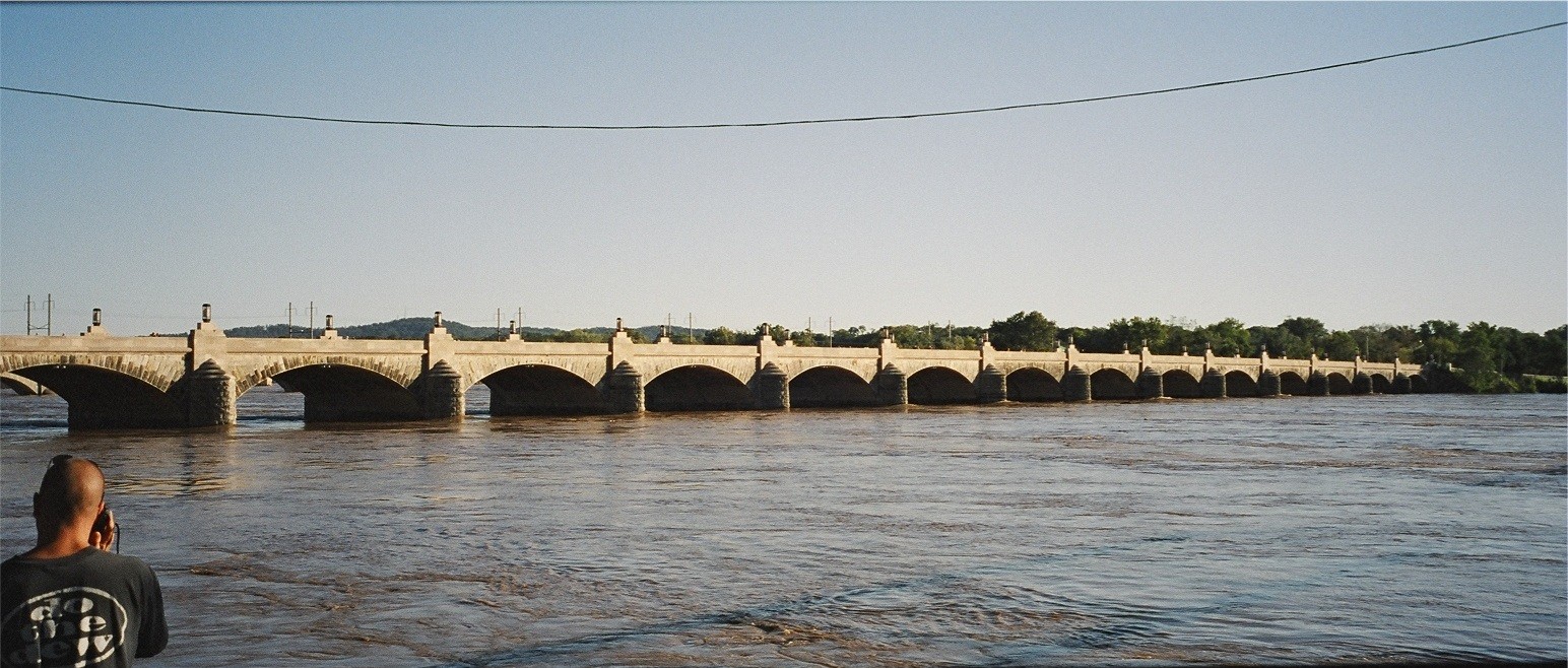
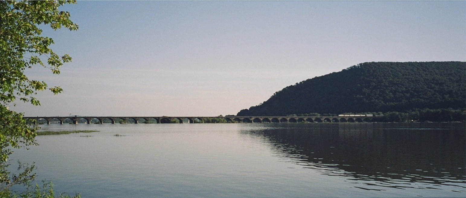
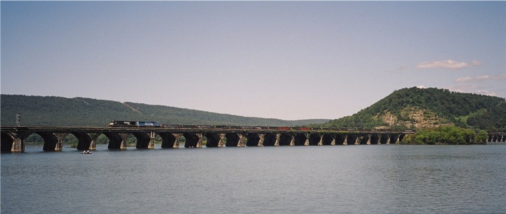
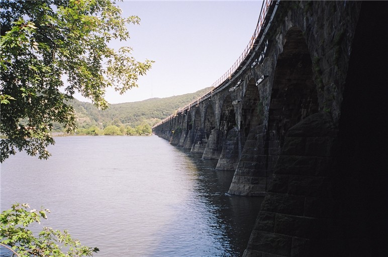
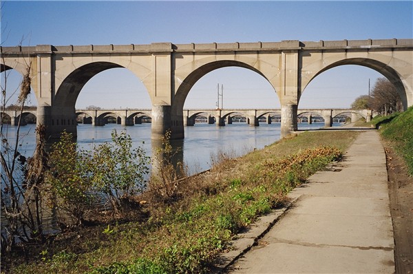
The Rockville Bridge
At over 1 mile long, The Rockville Bridge (Built in 1902) is the longest
stone arch bridge in the world.
It is located just north of Harrisburg, PA
This is a view of The Rockville Bridge looking eastward, just south of
the bridge.
For more information chick on:
The Rockville
Bridge
More Rockville Bridge
info:
|
|
| |
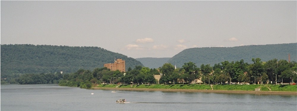
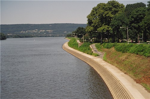
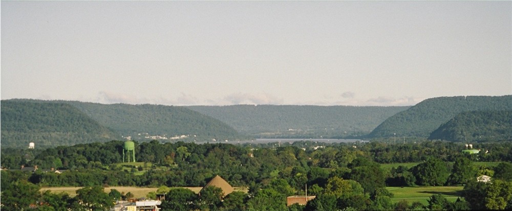
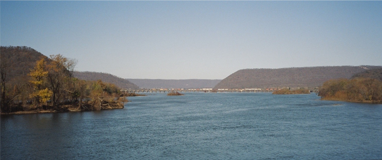
The Susquehanna River Valley looking north from the Harrisburg
areas: The West Shore's - Negley Park
|
|
| |
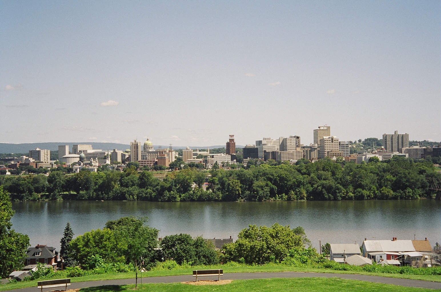
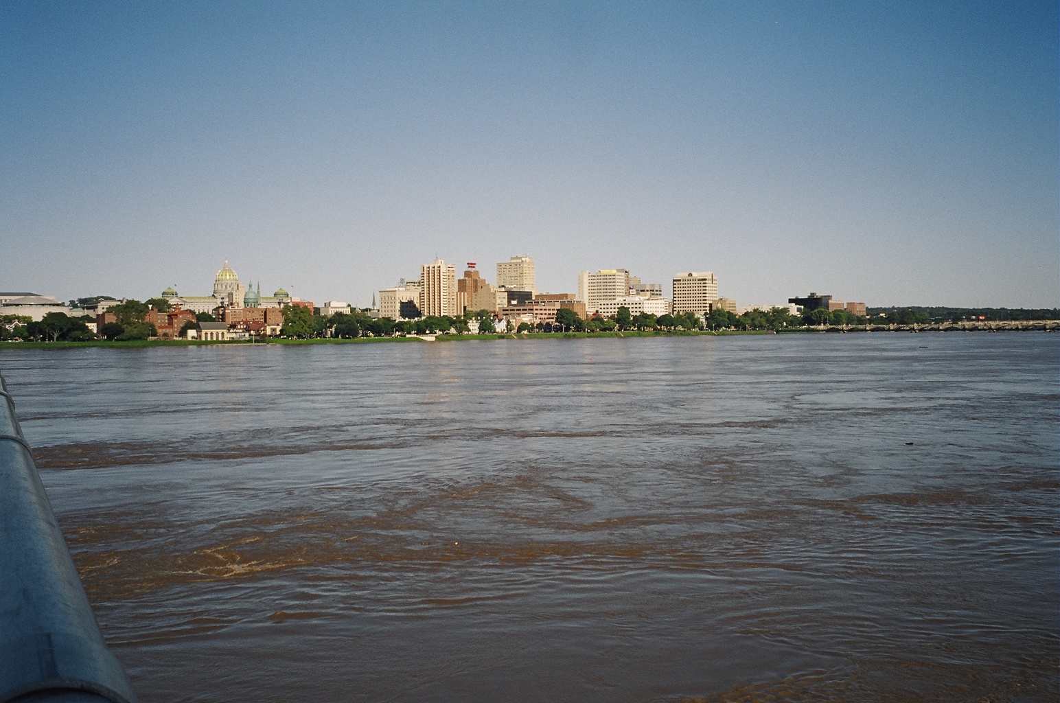
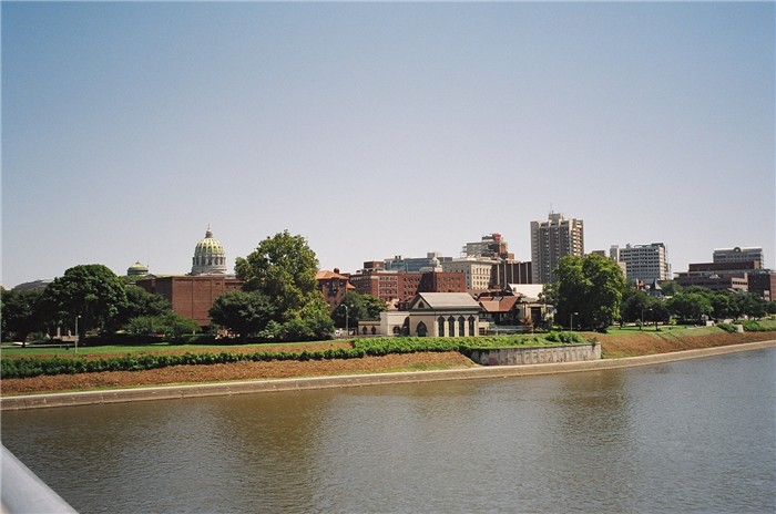
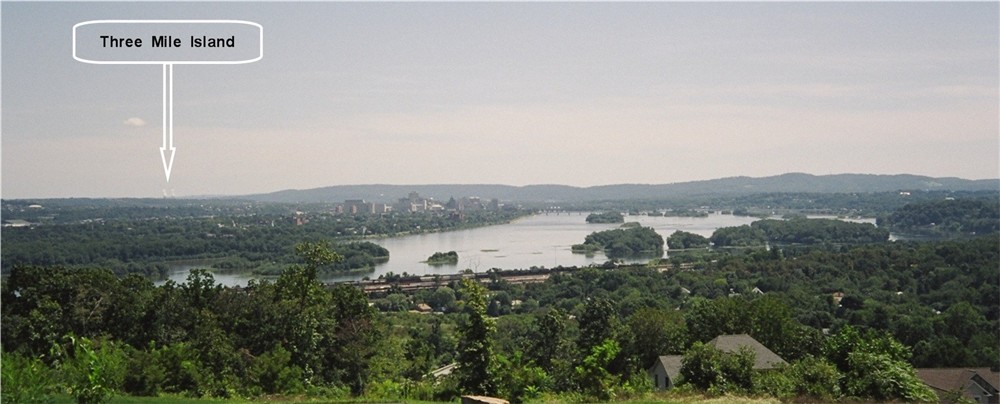
A view of Downtown Harrisburg and of Harrisburg's City Island from: The West Shore's - Negley Park
|
|
| |
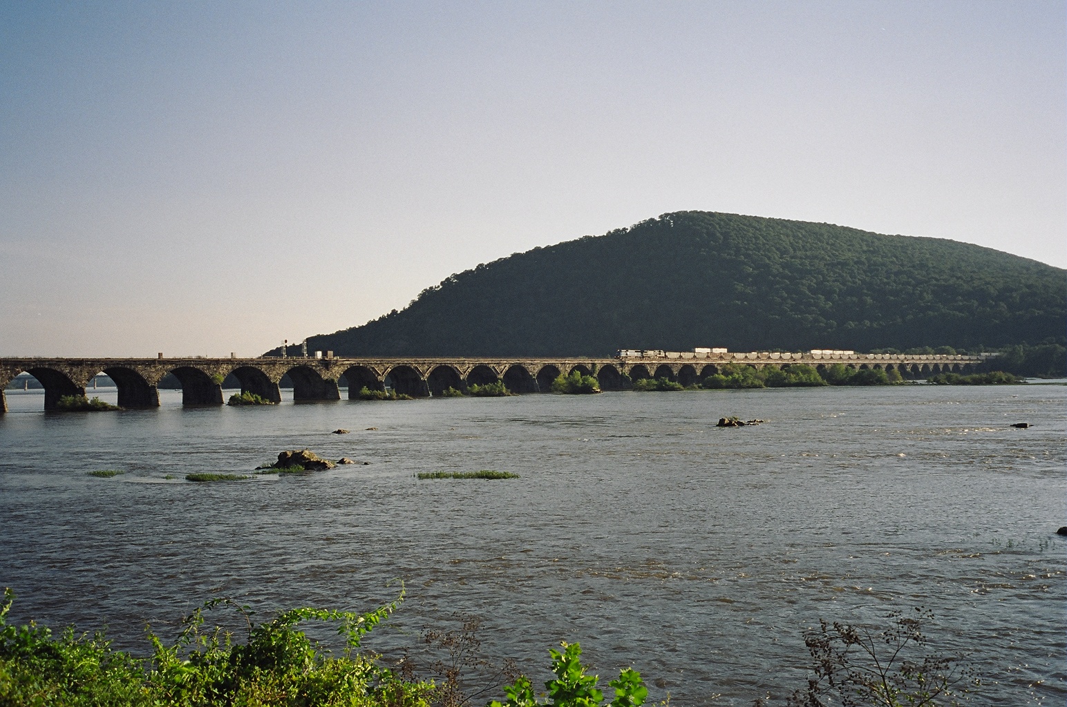
A view of
The Susquehanna River Valley looking north from atop of Harrisburg's
Reservoir Park
with The Susquehanna River and The Rockville Bridge in the background
|
|
| |
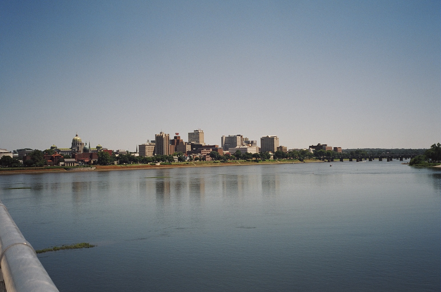
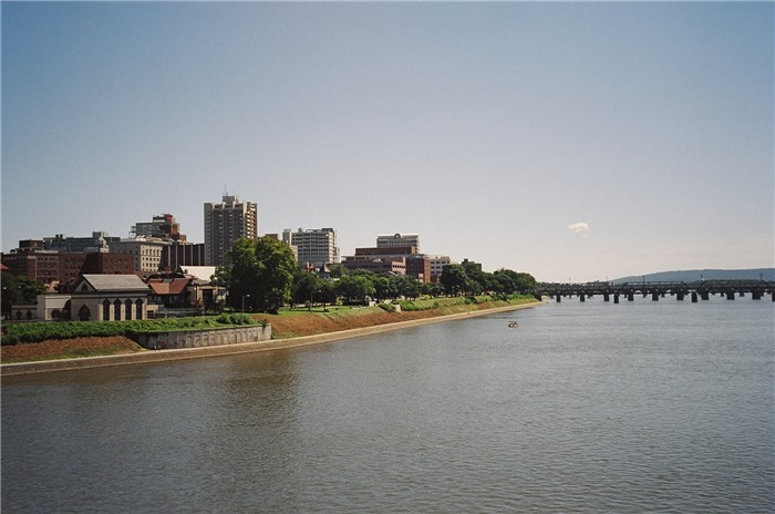
Looking East, a view of
Downtown Harrisburg from The John Harris Bridge.
|
|
| |
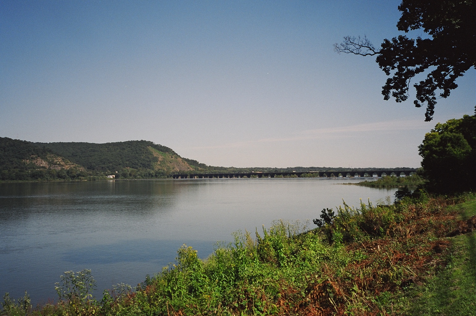
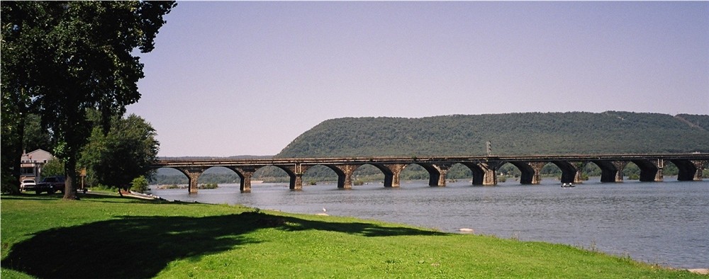
A view of The Rockville Bridge looking south from the shores of
Marysville.
|
|
| |
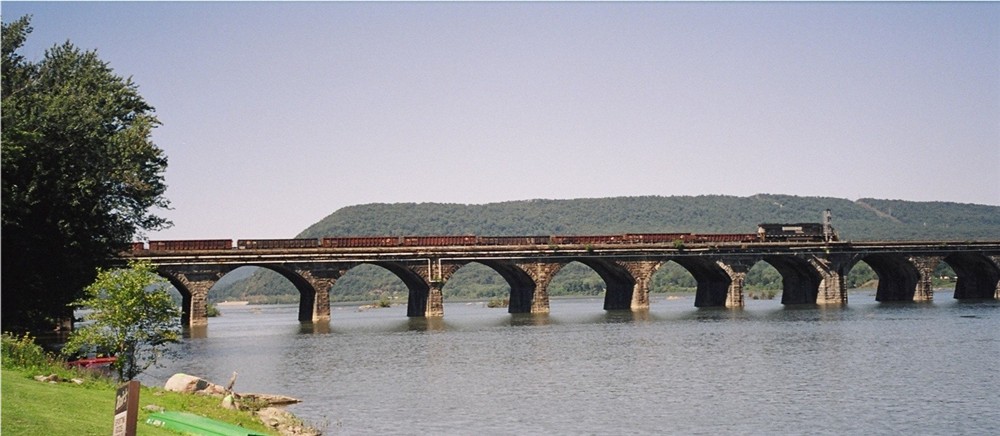
The Rockville Bridge looking southwest from the Harrisburg east side
|
|
| |
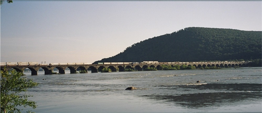
The Rockville Bridge looking southwest from the Harrisburg east side
|
|
| |
The Rockville Bridge looking southwest from the Harrisburg east side
and with Blue Mountain in the back ground.
|
|
| |
Looking west from the Harrisburg east side,
A view of Blue Mountain along
with The Rockville Bridge.
|
|
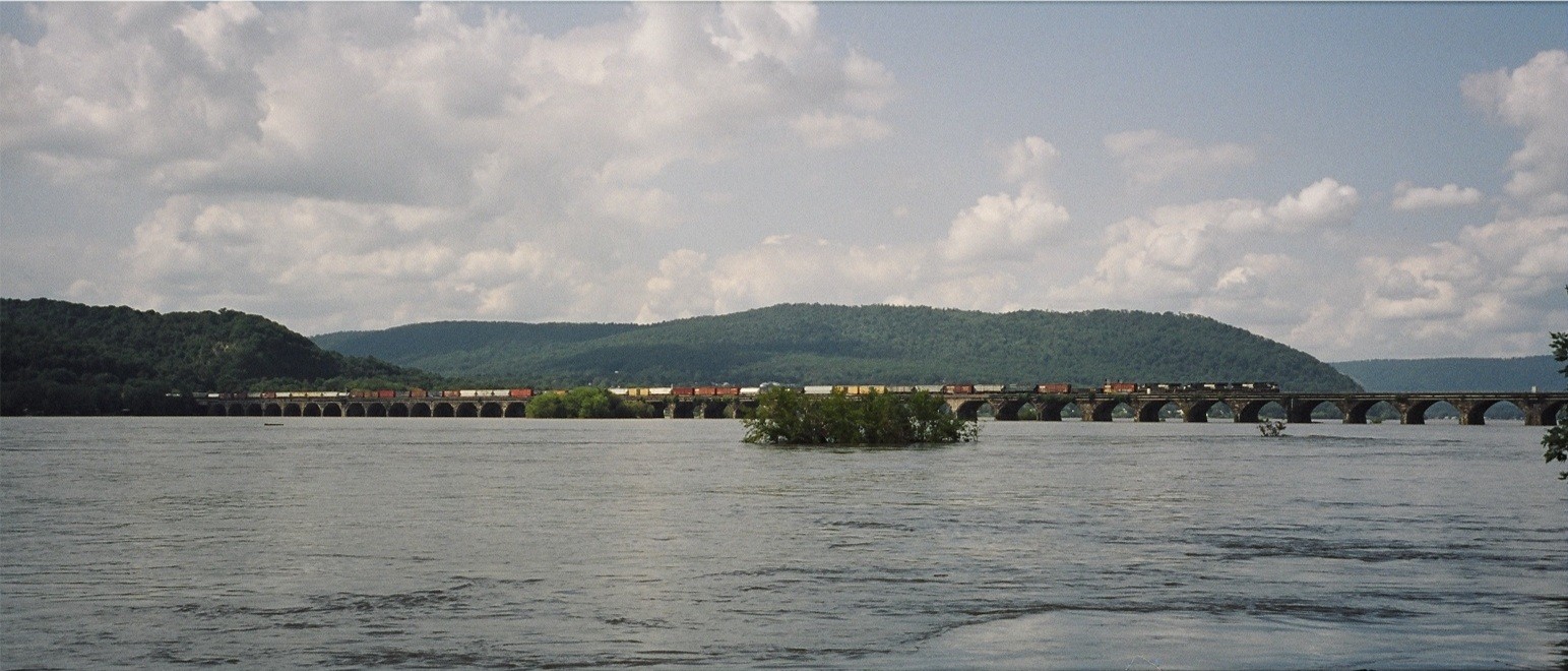
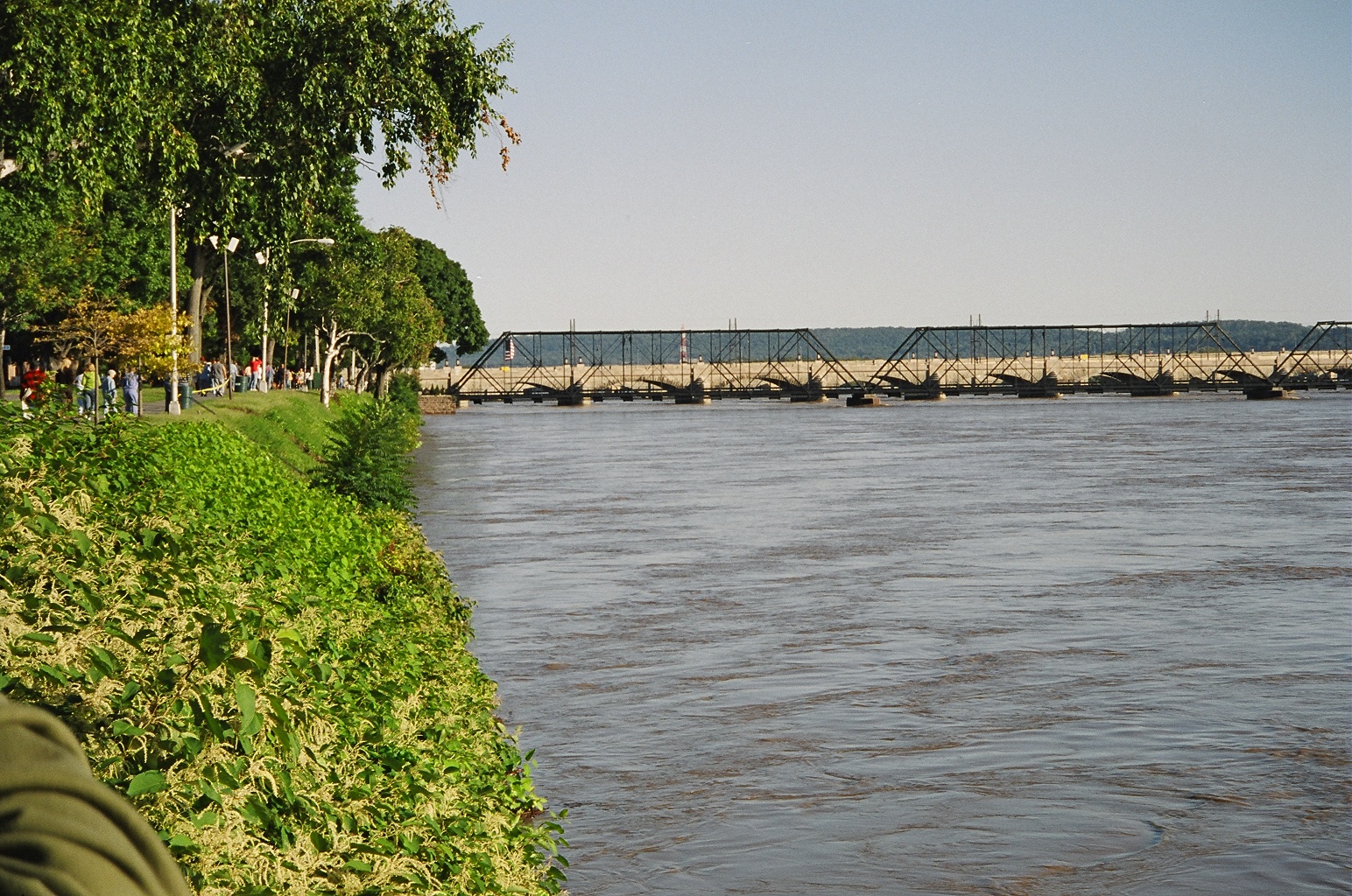
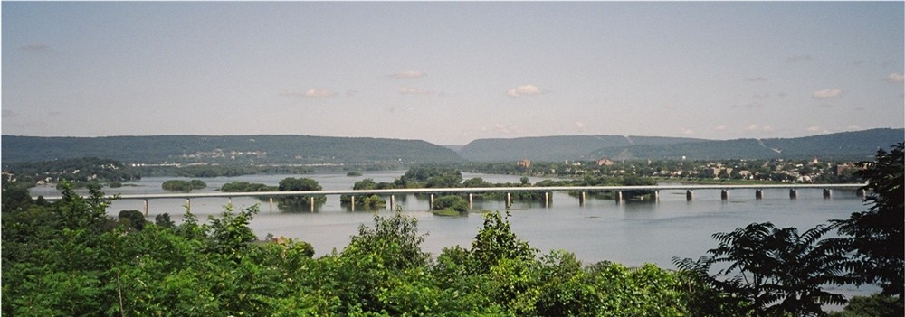
The Rockville Bridge and The Susquehanna River Valley looking north from
Interstate 81
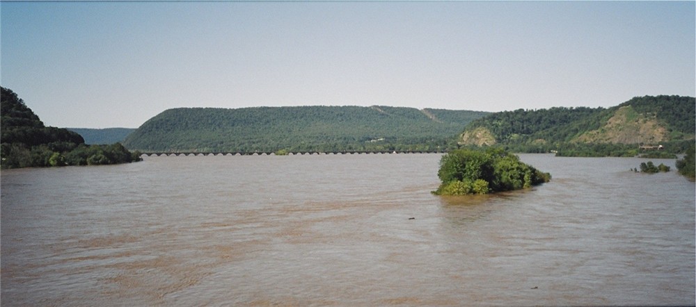
The Rockville Bridge looking north from The Interstate 81 Bridge during
the flood of Fall/04
(look close and you can see the lack of arch in the arches from the high
water levels
(24 Feet river level, normal river levels for the summer are 2.5
- 3.5 Feet deep))
|
|
|
|
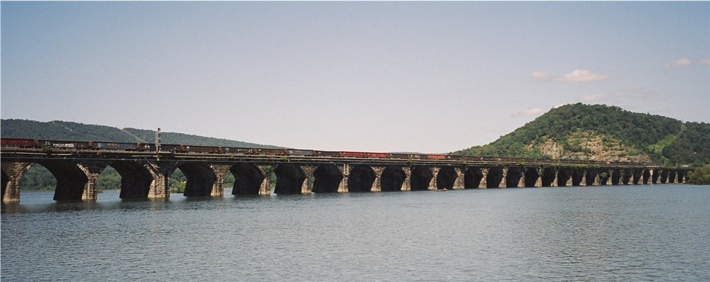
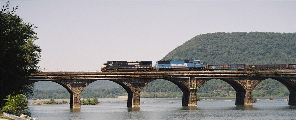
The Rockville Bridge looking east from the bridges south side
|
The Rockville Bridge looking east from the bridges south side
|
The Rockville Bridge looking north from the West Shore area
|
The Rockville Bridge looking north from the West Shore
|
The Rockville Bridge looking north from the West Shore
The Rockville Bridge looking eastward from the bridges north side
|
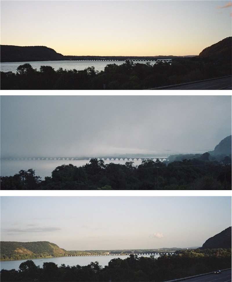
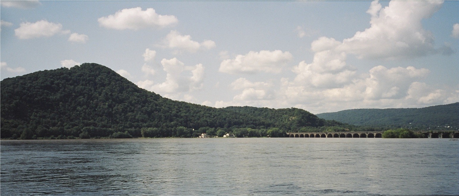
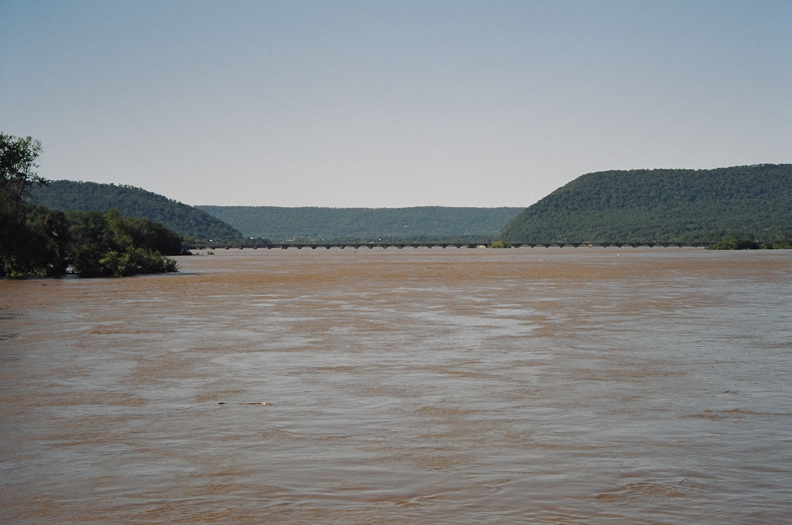
Views of The Rockville Bridge Looking south from the west side of the
river from Maysville:
Sunrise during the flood of Fall/04
Sunrise with fog
and during a nice fall day
|
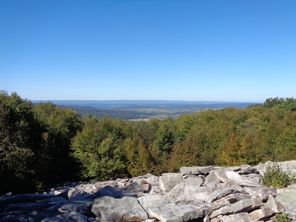
Looking South : A view of Harrisburg, PA and the the Lower Susquehanna
River Valley from up on Blue Mountain
and just a short distance from the nearby Rockville Bridge
|
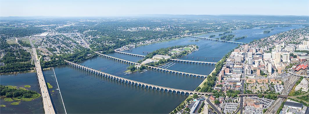
Looking North.
An aerial view of the Harrisburg PA metro area and of The Susquehanna River
Valley.
Looking North.
An aerial view of the Harrisburg PA metro area and of The Susquehanna River
Valley.
With the Rockville Bridge in the background.
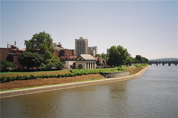
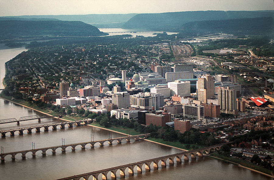
Looking East, A view of Downtown Harrisburg, PA and The
Pennsylvania State Capitol
with the north part of City Island and its ball fields in the foreground.
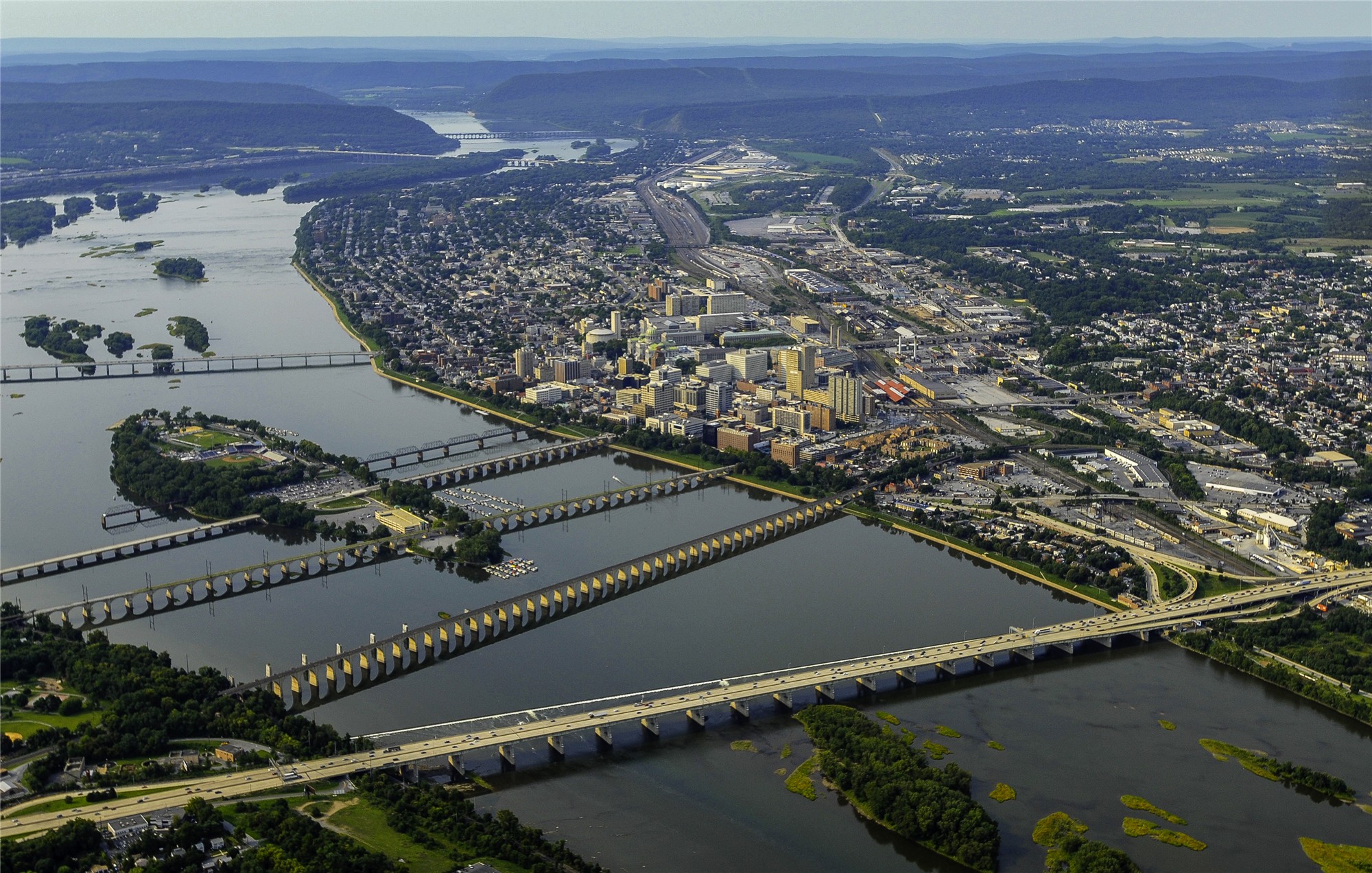
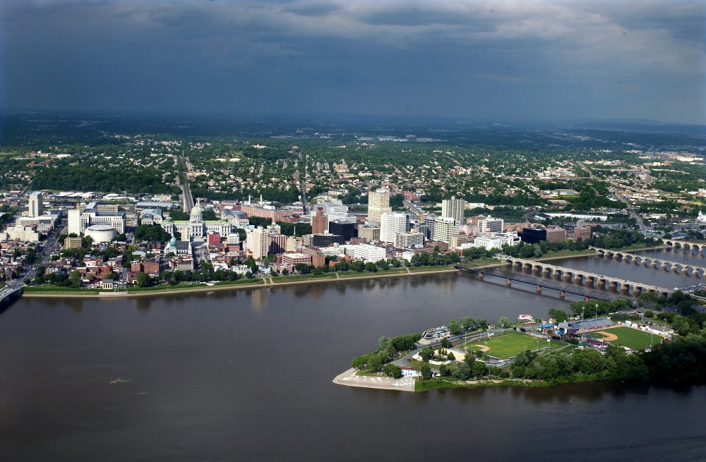
An aerial view of downtown Harrisburg PA, The Susquehanna River,
and of the nearby West Shore metro area.
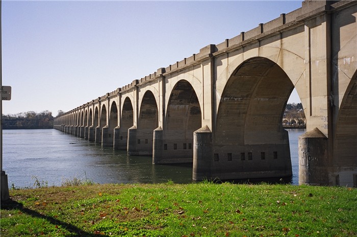
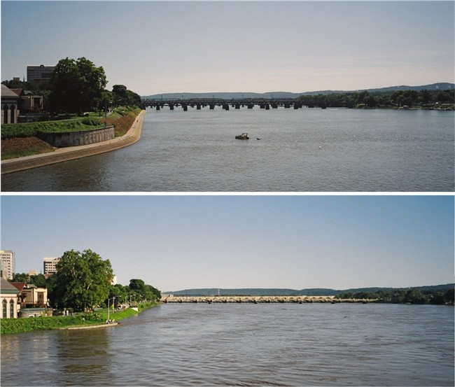
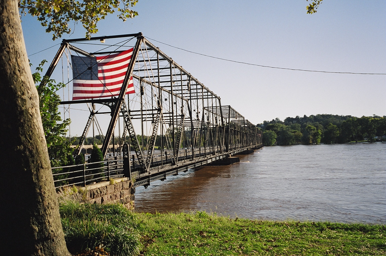
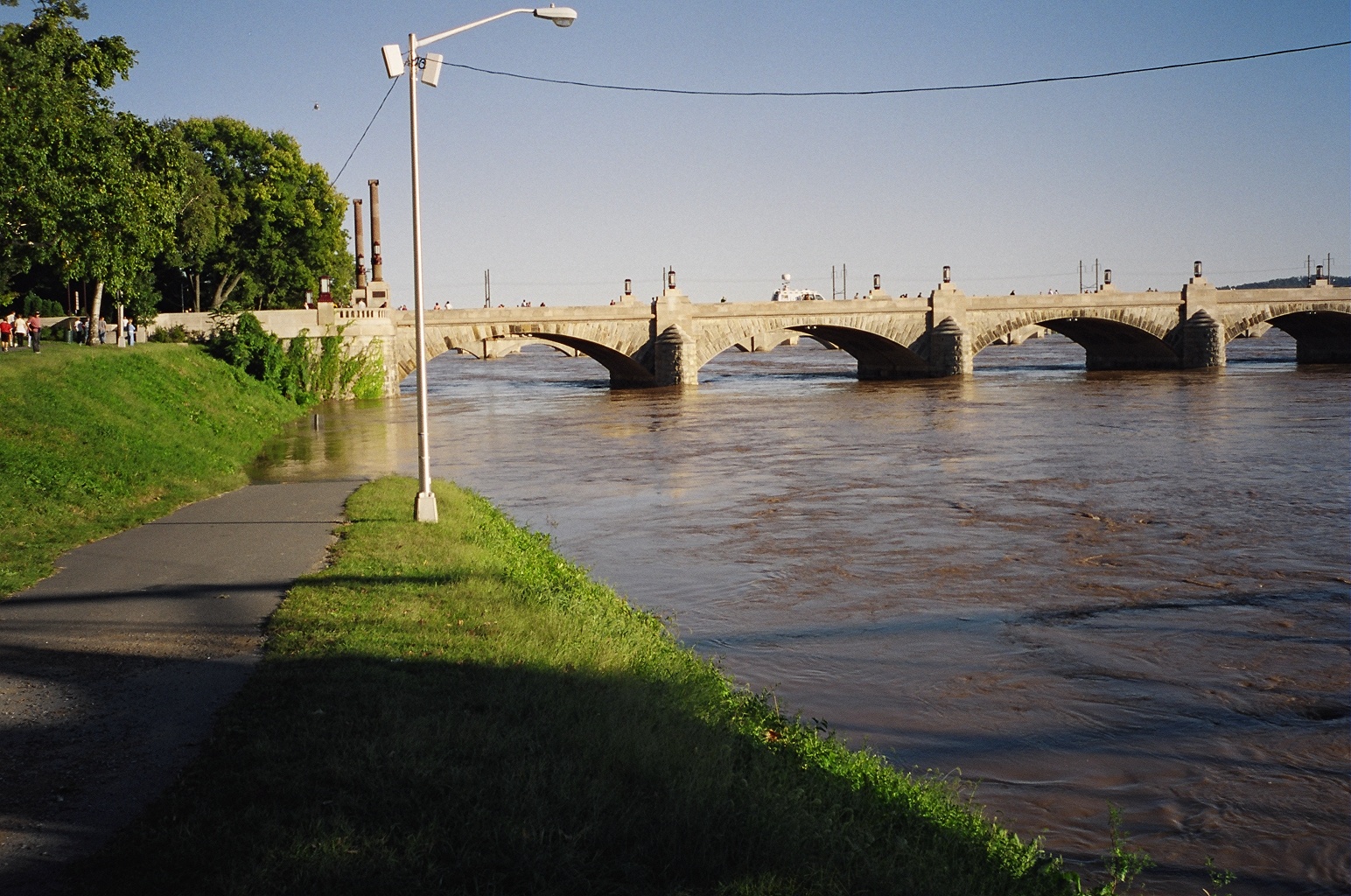
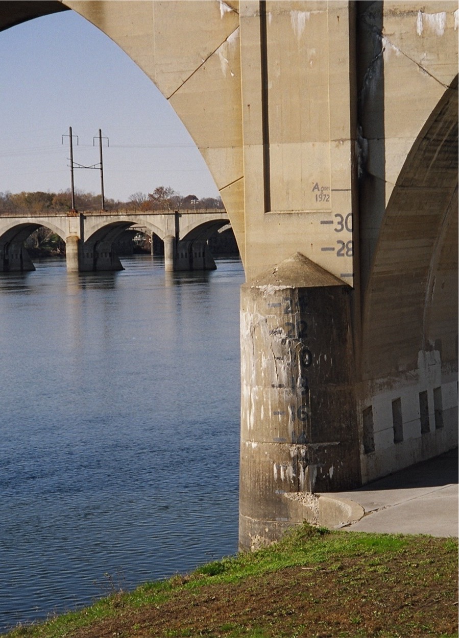
The Pennsylvania Railroad Bridge ( built in
1924 ) over The Susquehanna River at
Harrisburg, PA looking west, just south of the bridge.
If you look close to the first pier you can see the water level marks
(28, 30, and that of Hurricane Agnes from 1972 "+33 Feet ! ! !").
(normal river levels for the summer are 2.5
- 3.5 Feet deep)
|
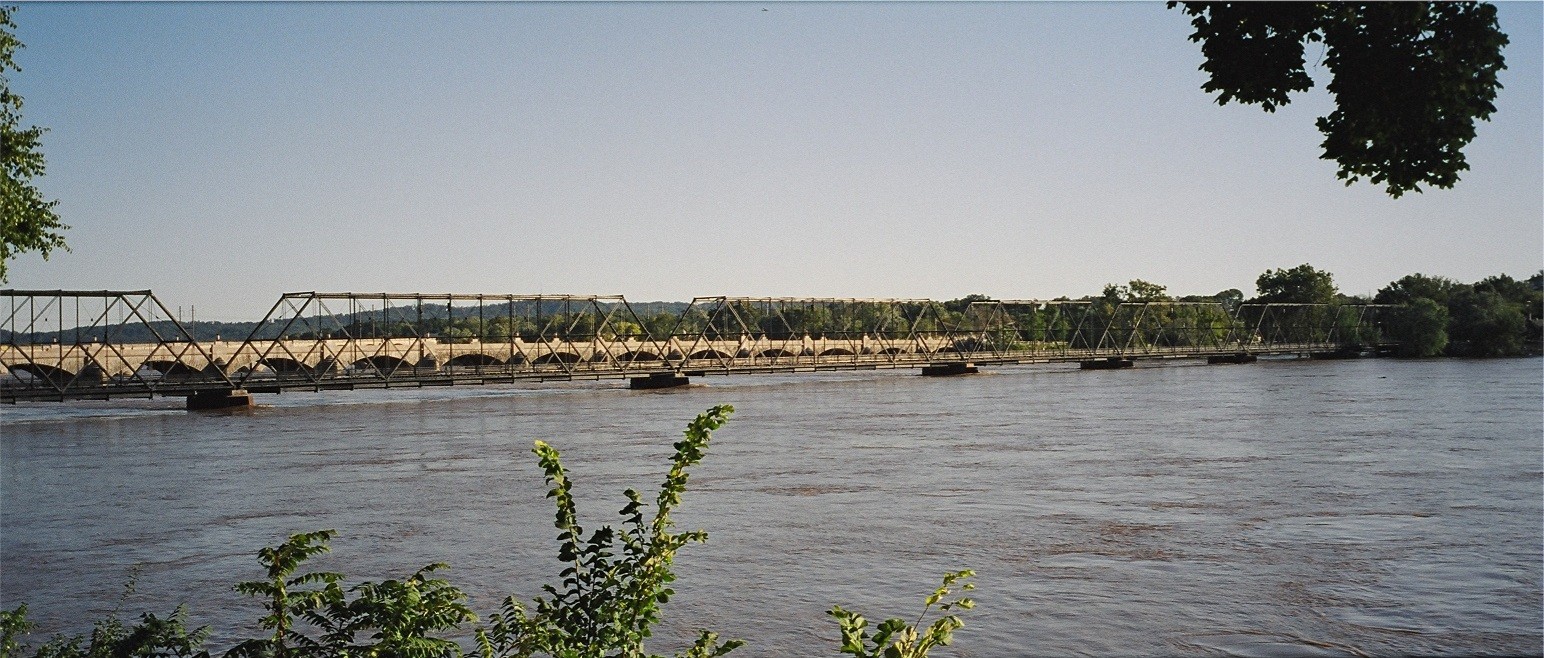
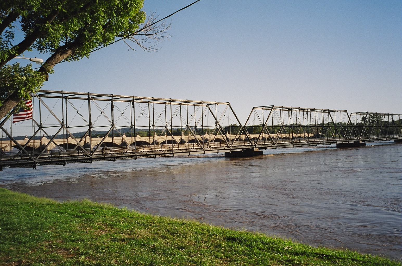
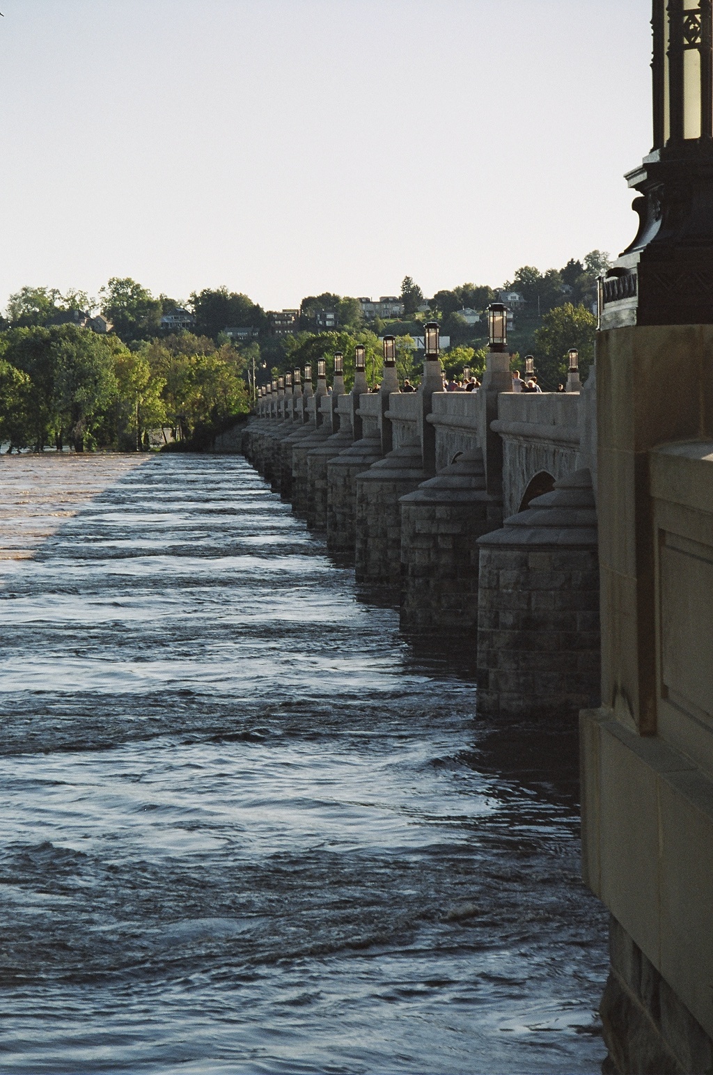
One of the piers of The Pennsylvania Railroad Bridge along
The Susquehanna River
|
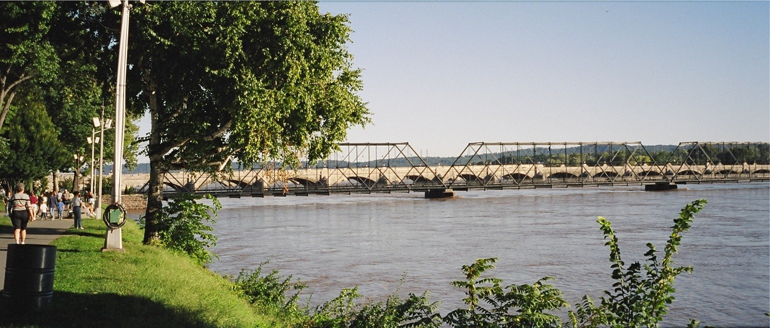
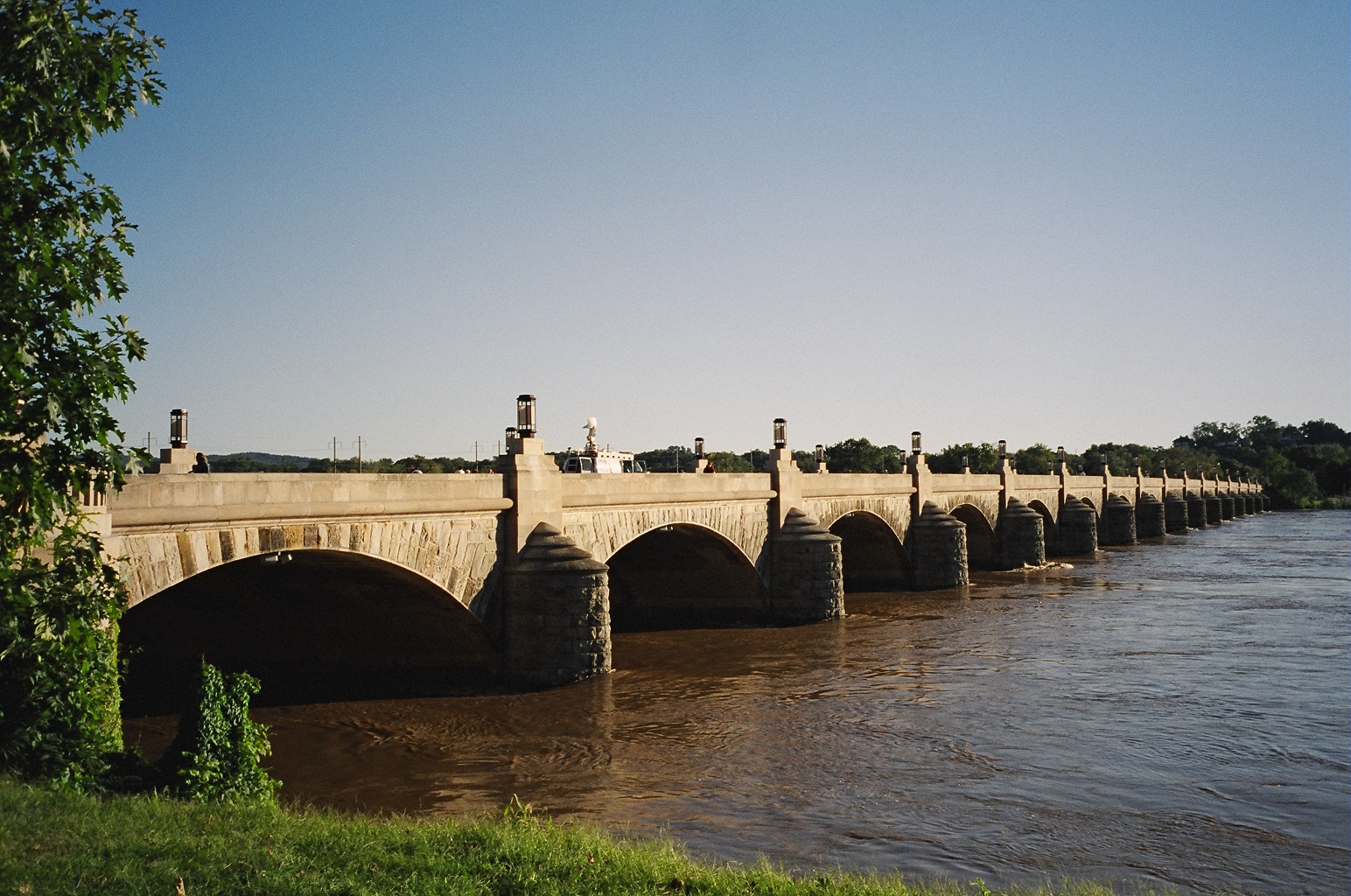
The Pennsylvania Railroad Bridge over The Susquehanna River
at
Harrisburg, PA
looking north with the long since vacated
Reading Railroad Bridge in
the background along with
Harrisburg's fame River Walk / River Front Park.
|
| |
---------------------------------------------------------------------------
Mechanicsburg, Pennsylvania
About 8-9 miles west from The Susquehanna
River and Harrisburg, PA.
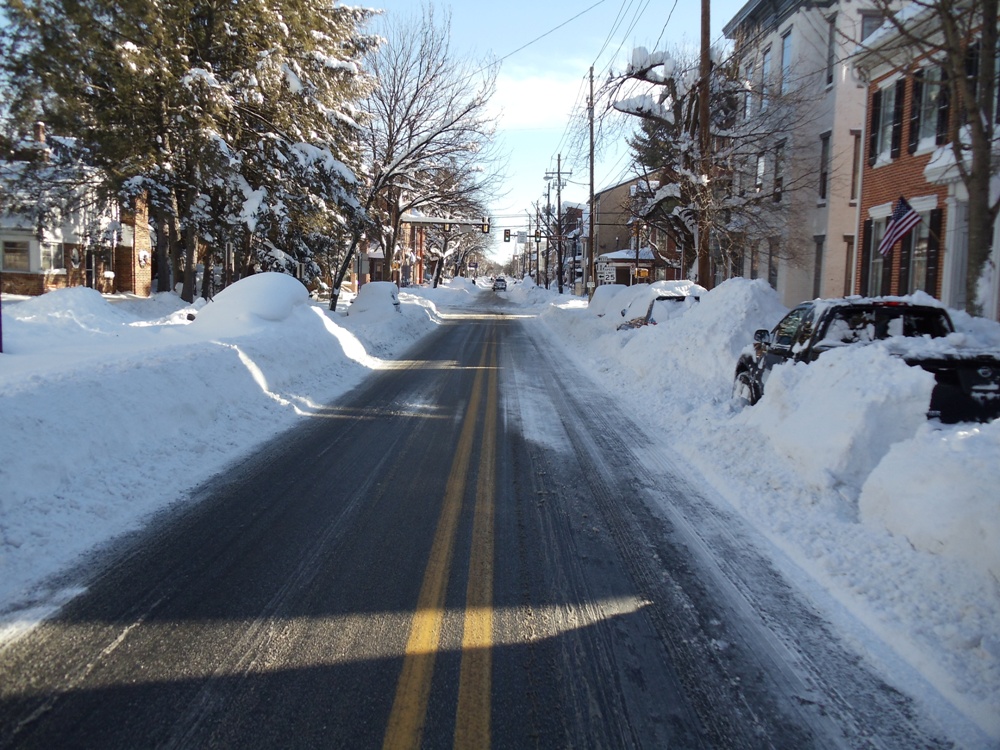
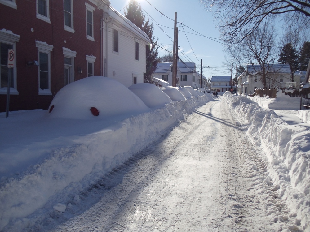
Looking east, a view of Main Street, Downtown,
Mechanicsburg, PA,
after The Blizzard of January 23, 2016 (43+ inches of snow).
|
|
| |
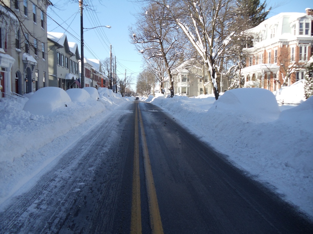
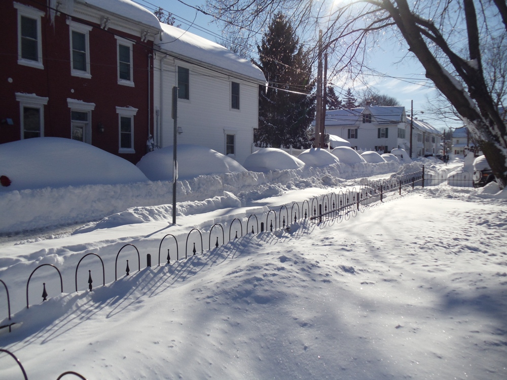
Looking west, a view of Main Street, Downtown,
Mechanicsburg, PA,
after The Blizzard of January 23, 2016 (43+ inches of snow).
|
|
|
-------------------------------------------------------------------------------------------
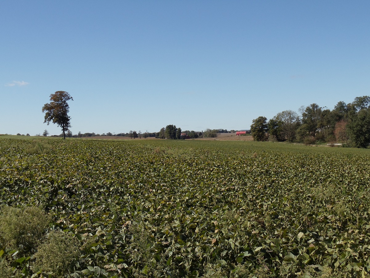
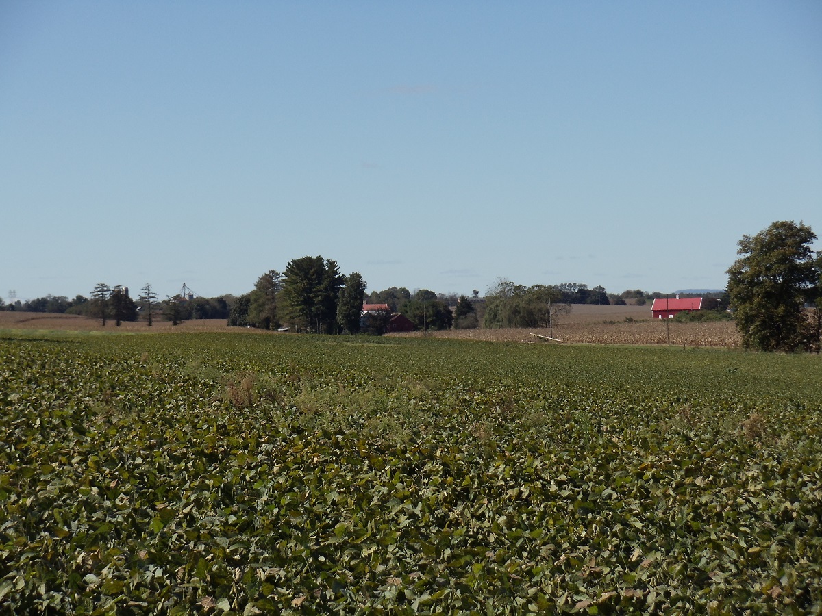
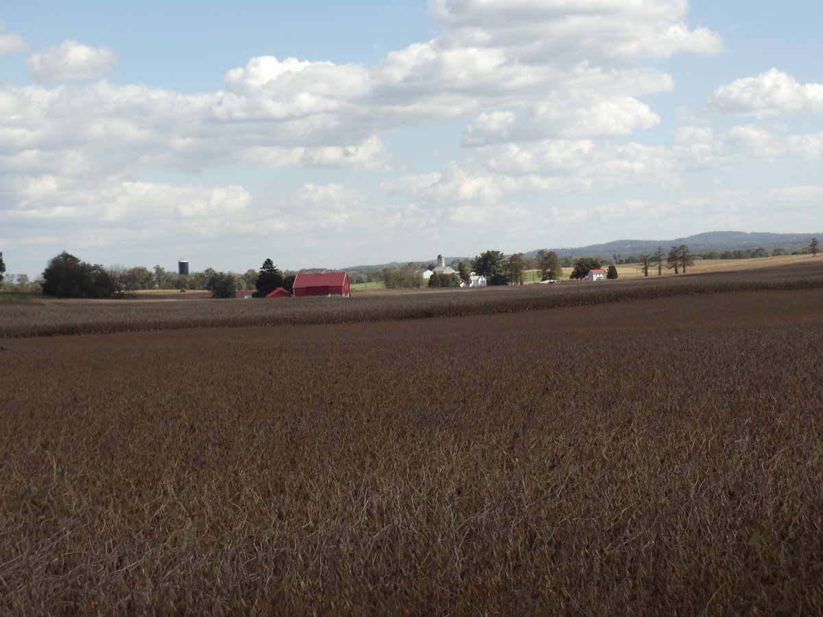
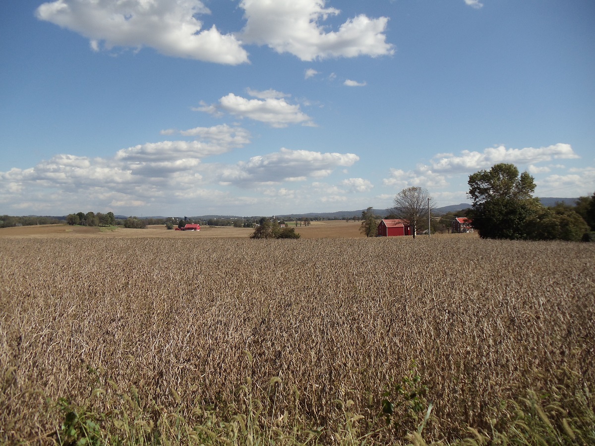
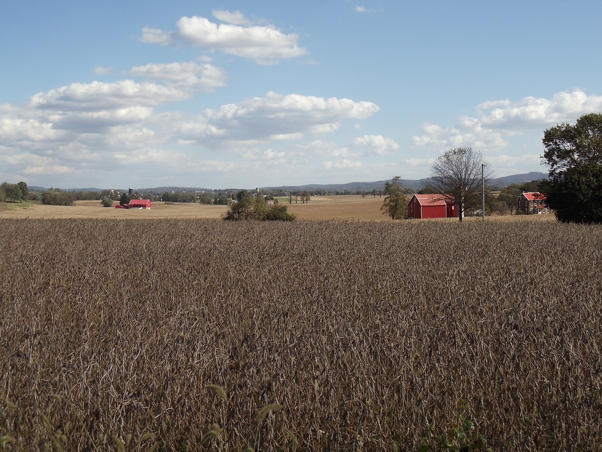
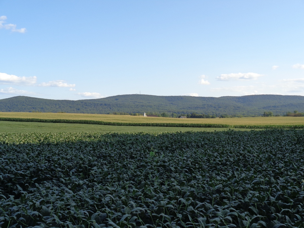
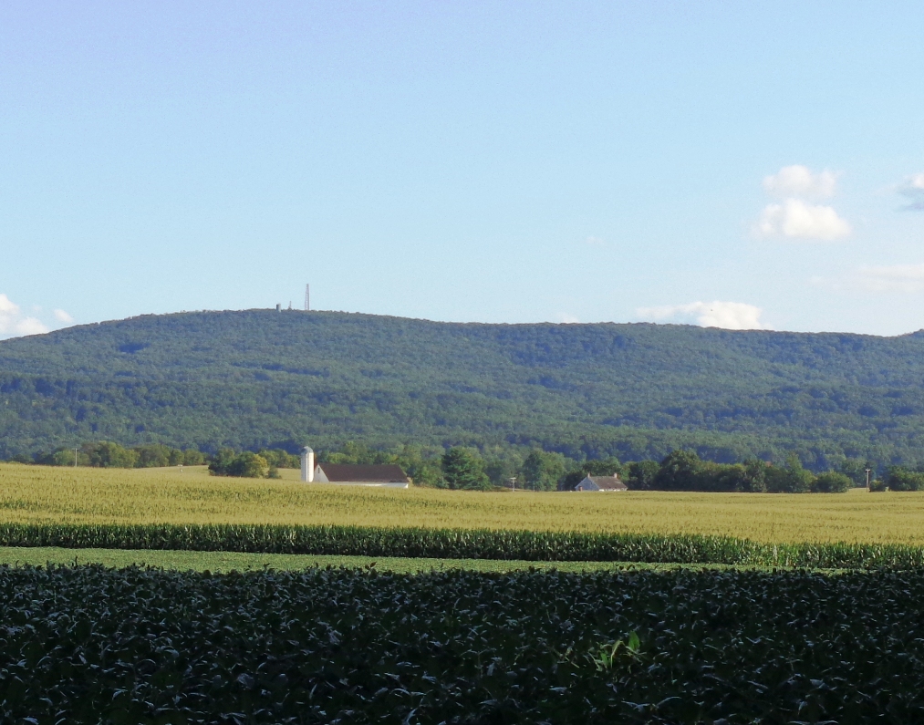
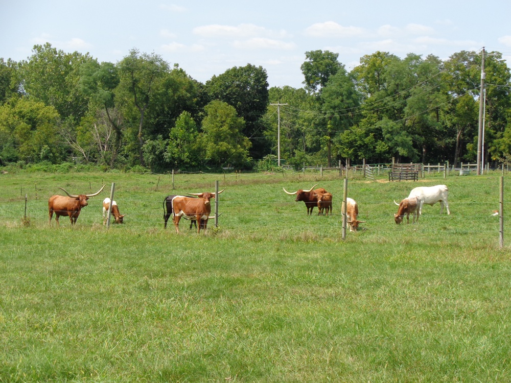
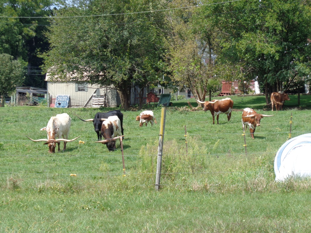
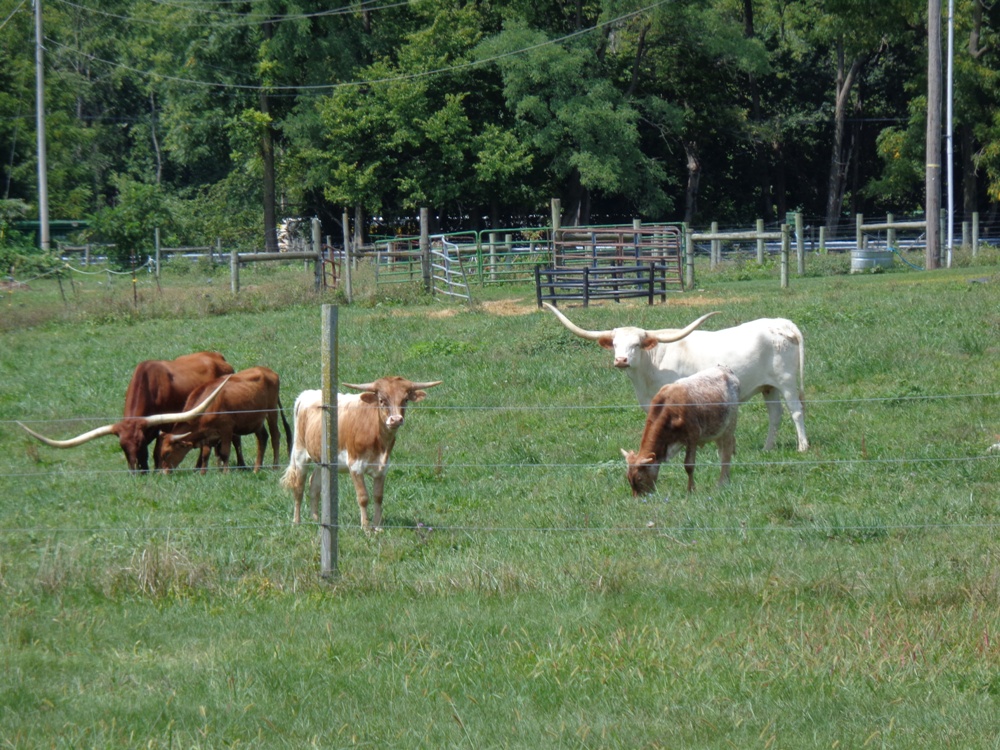
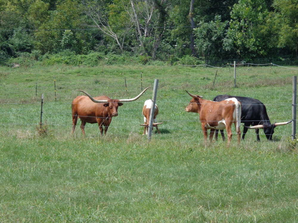
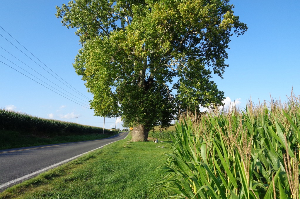
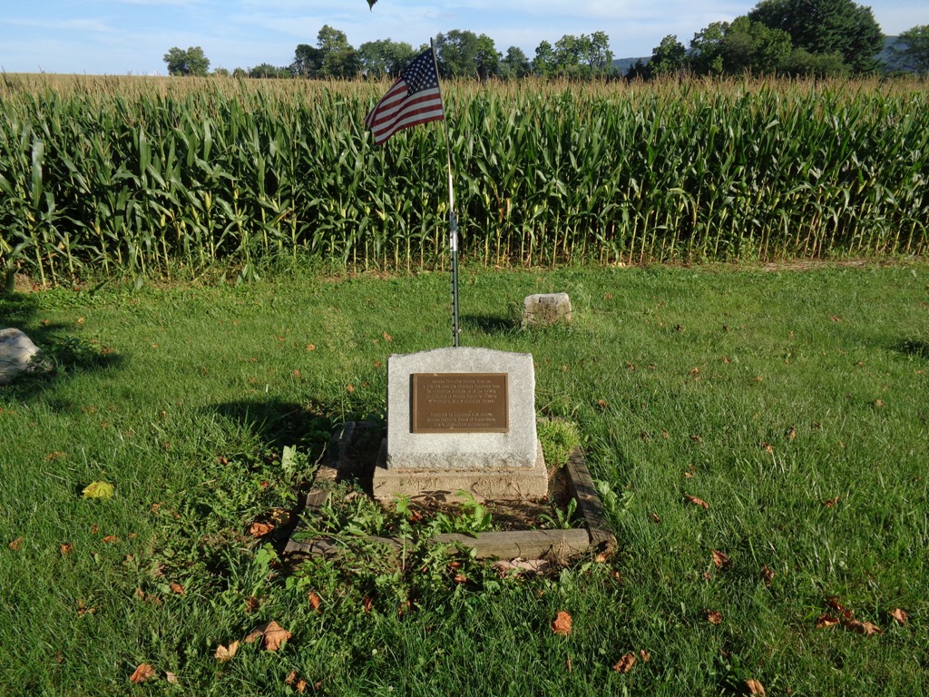
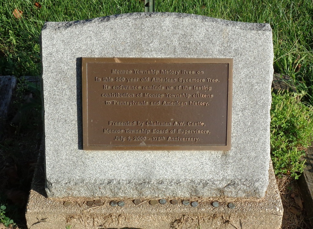
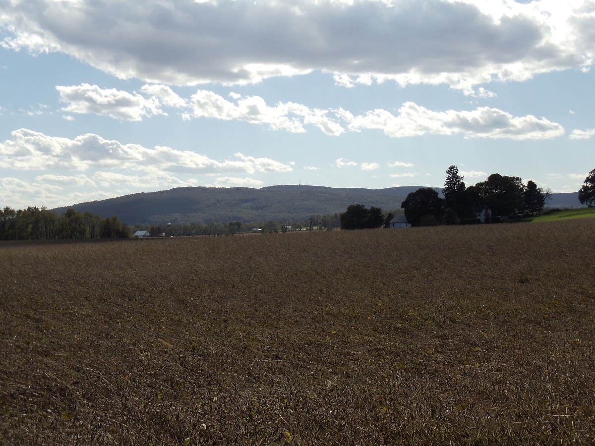
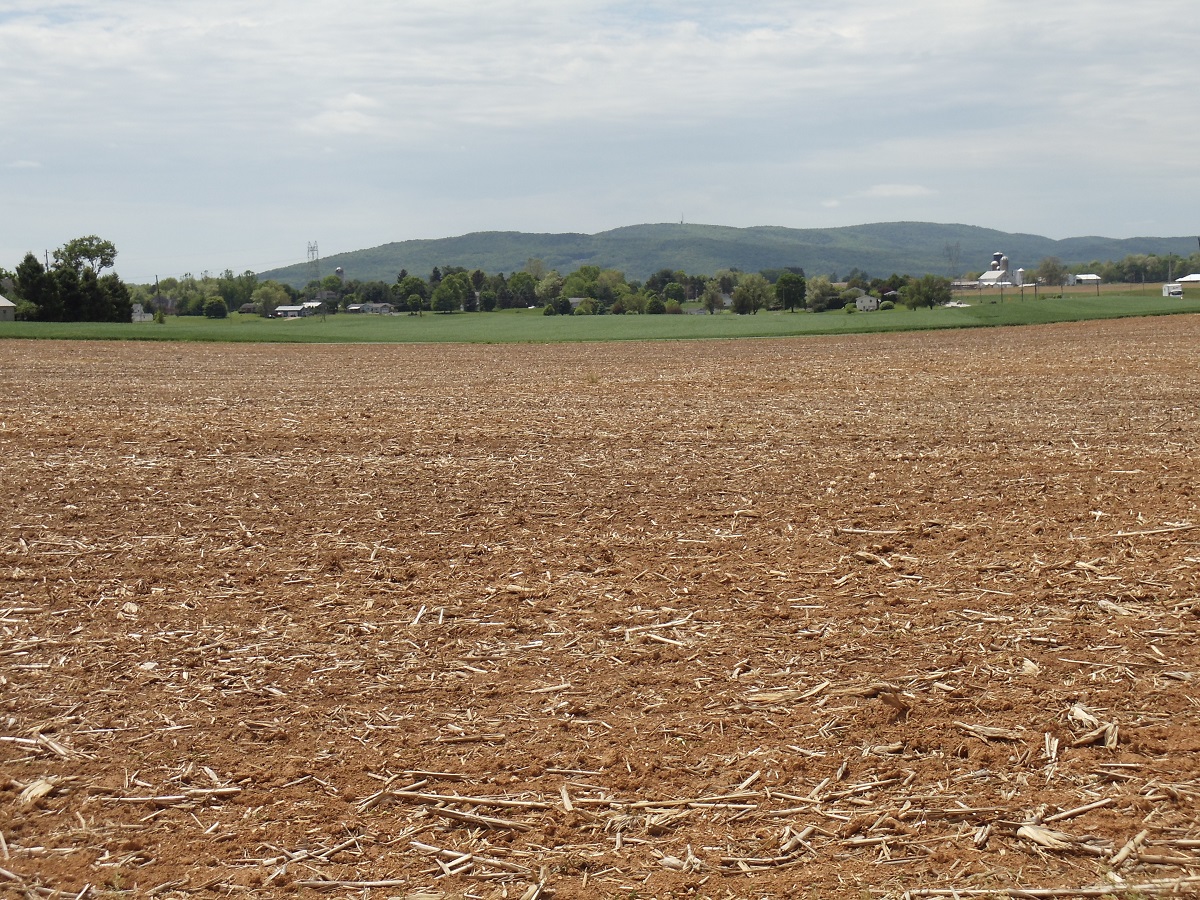
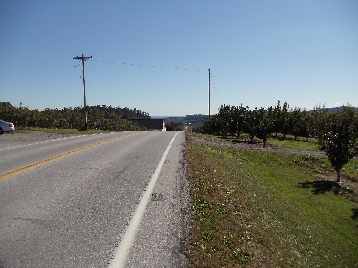
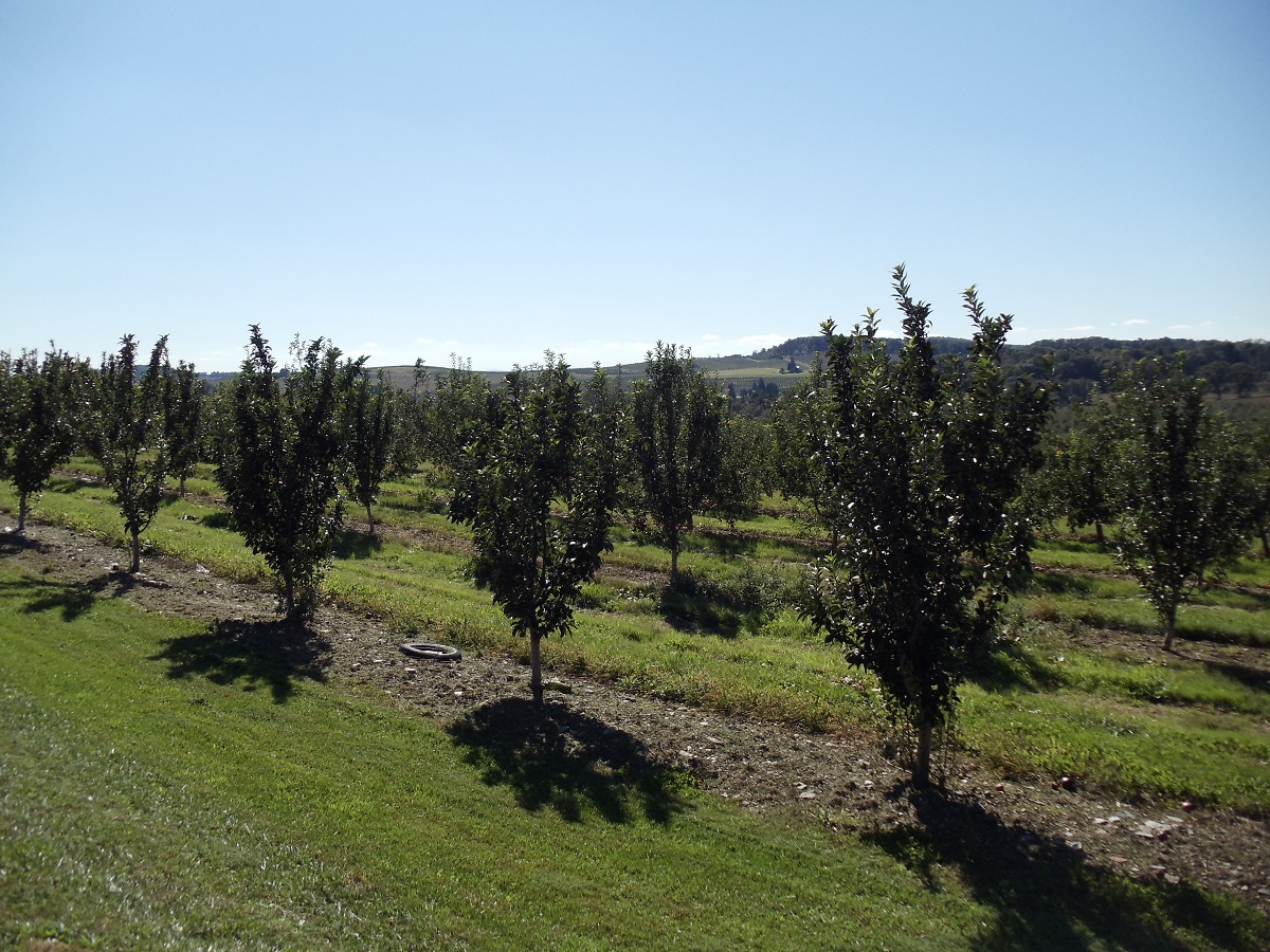
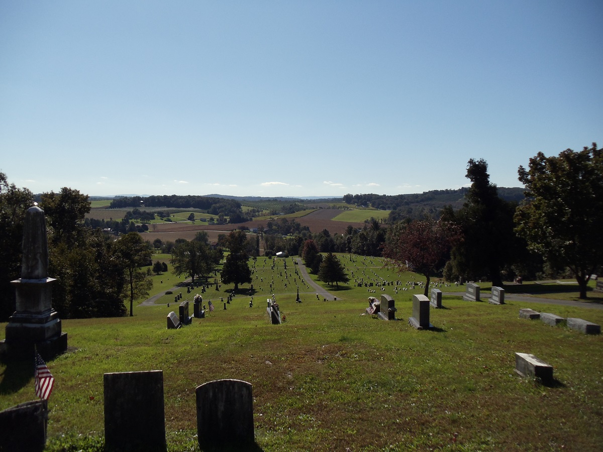
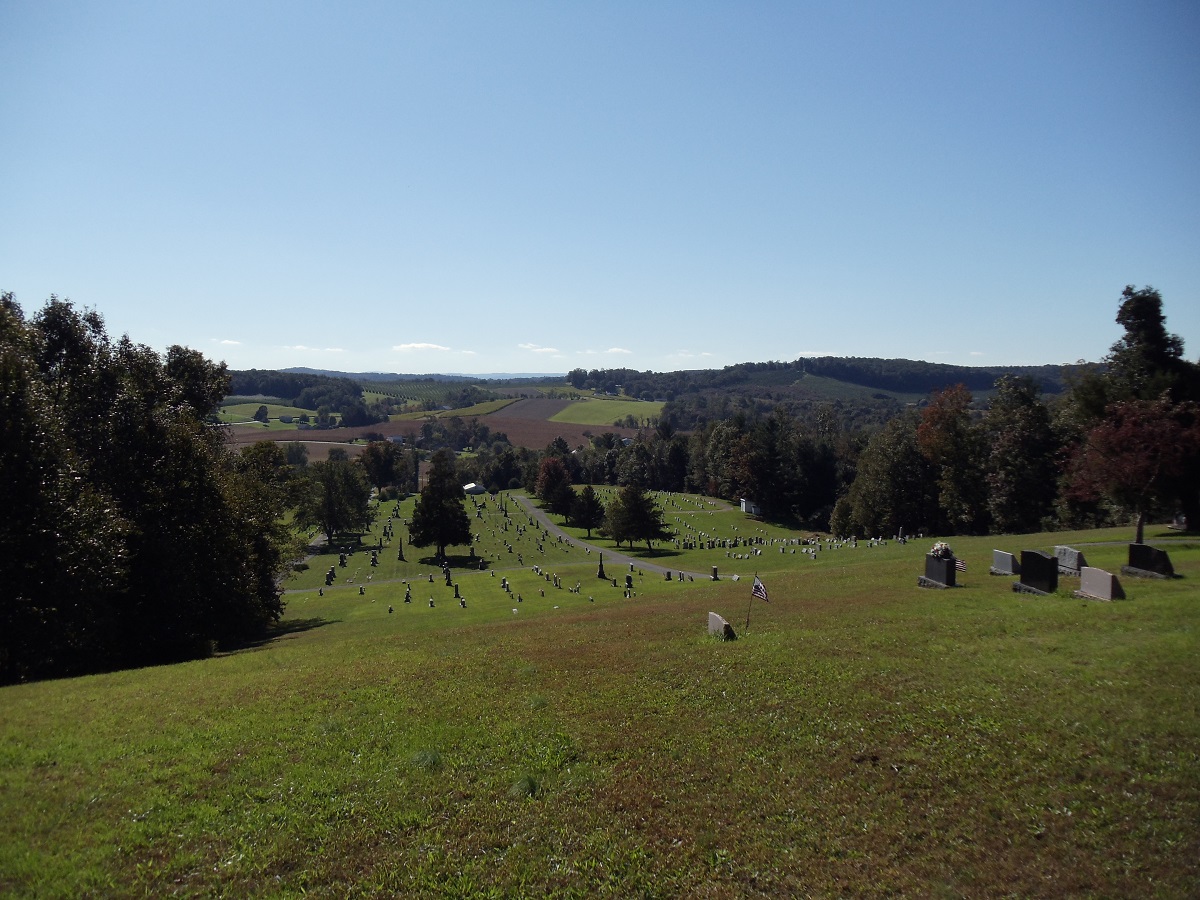
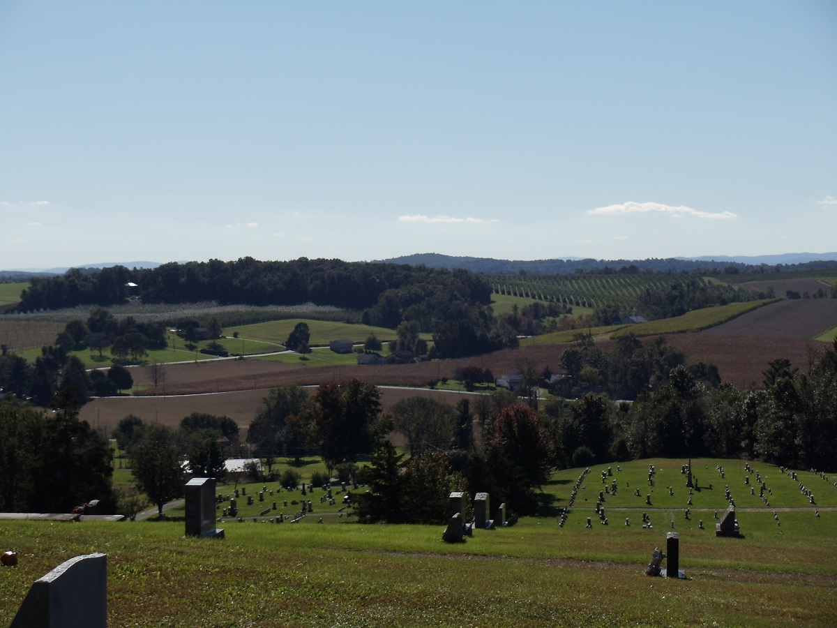
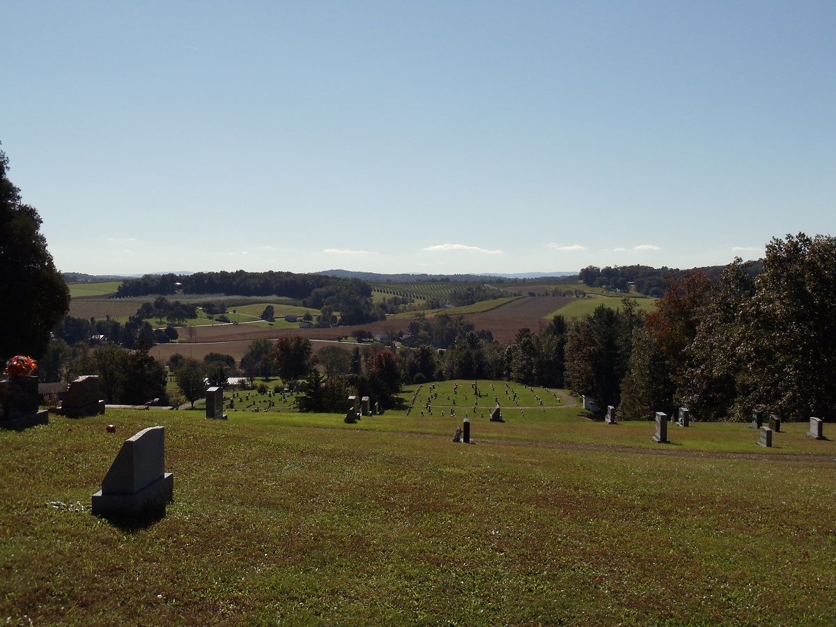
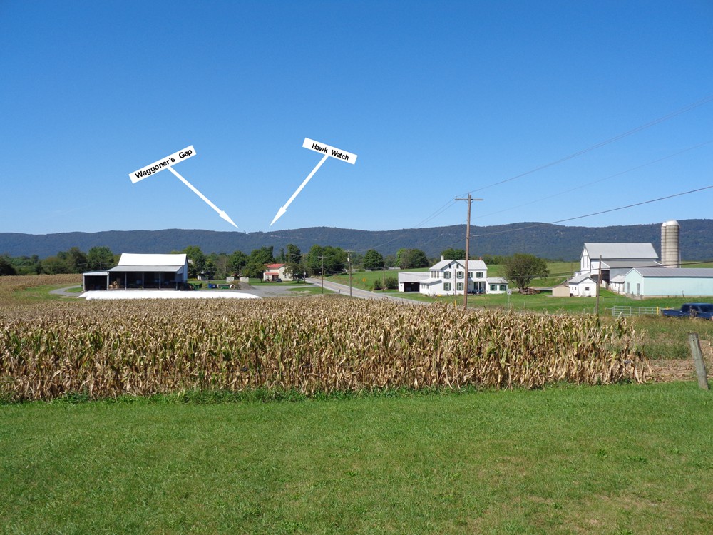
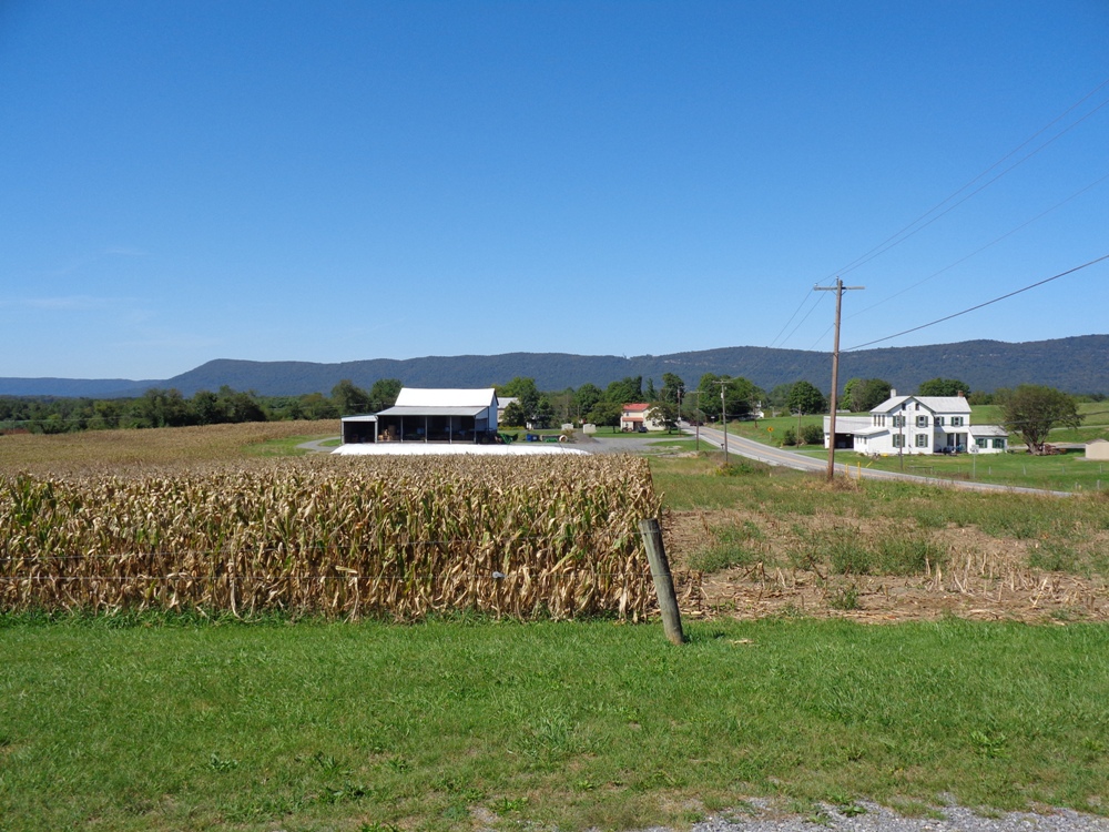
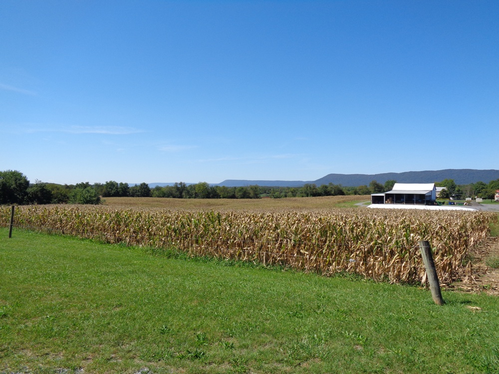
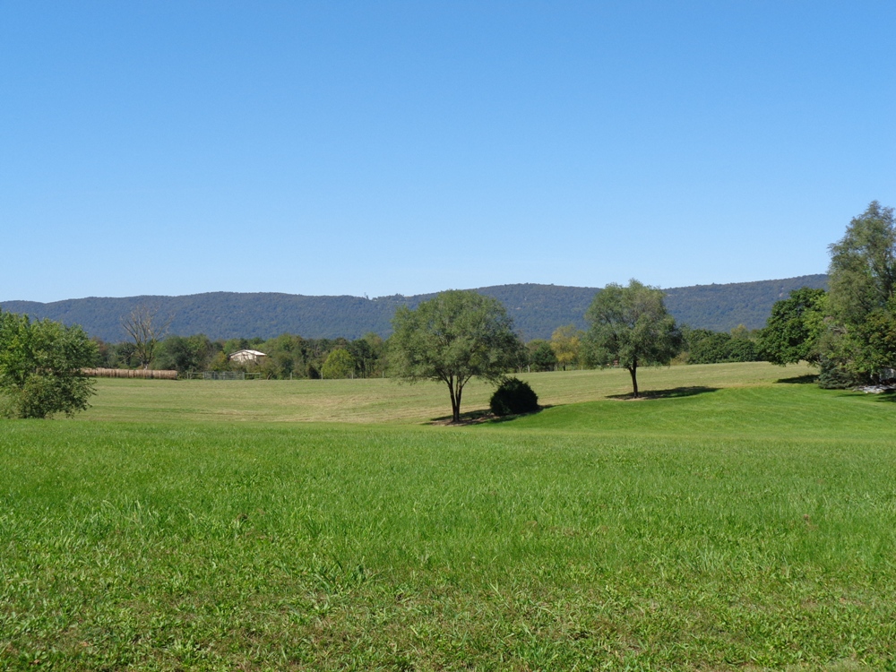
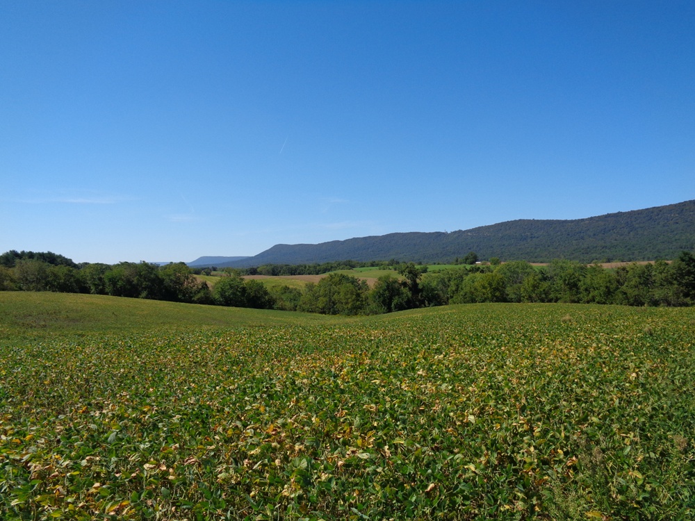
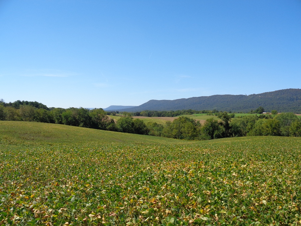
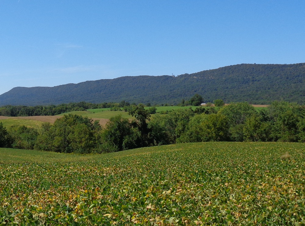
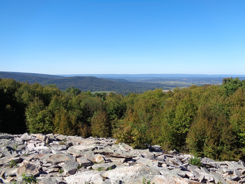
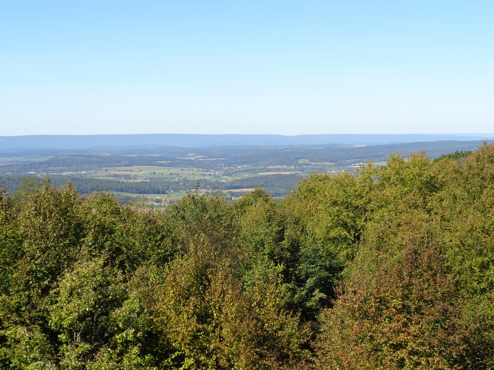
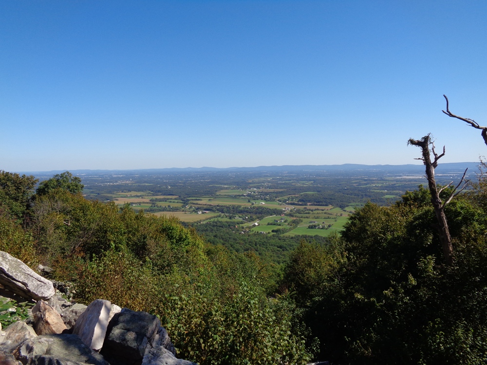
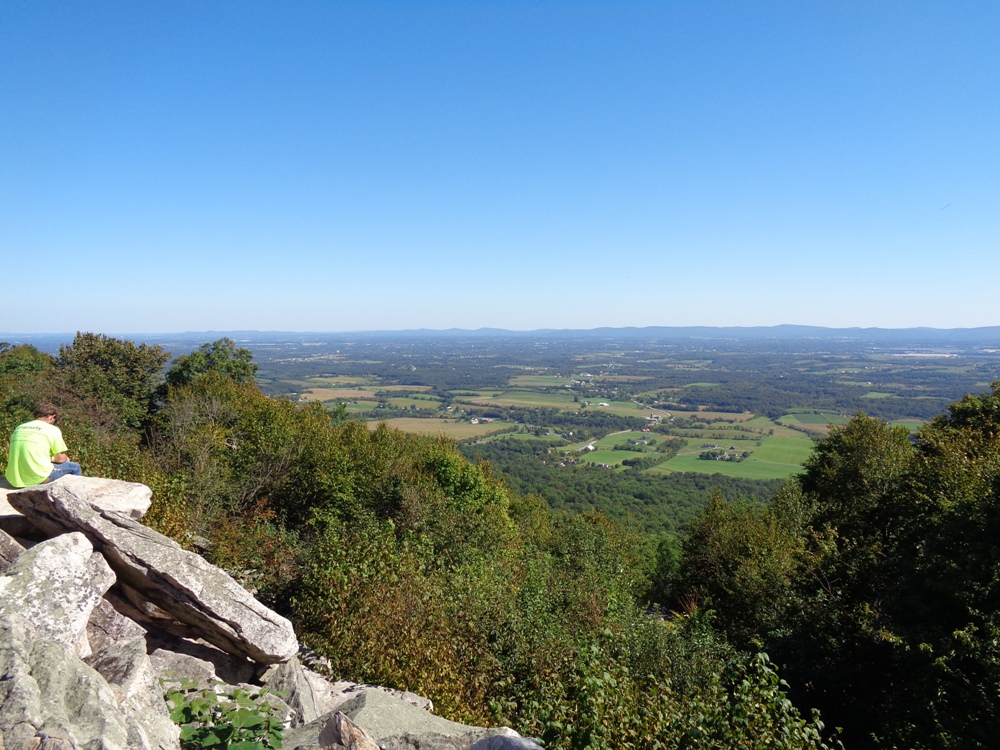
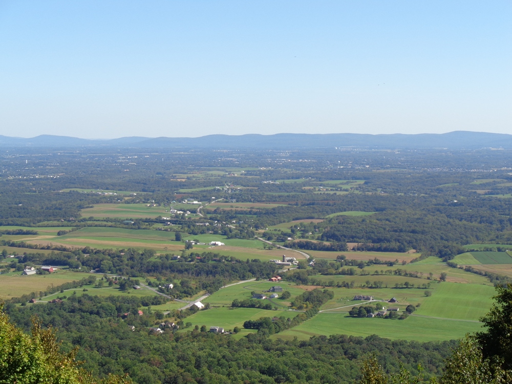
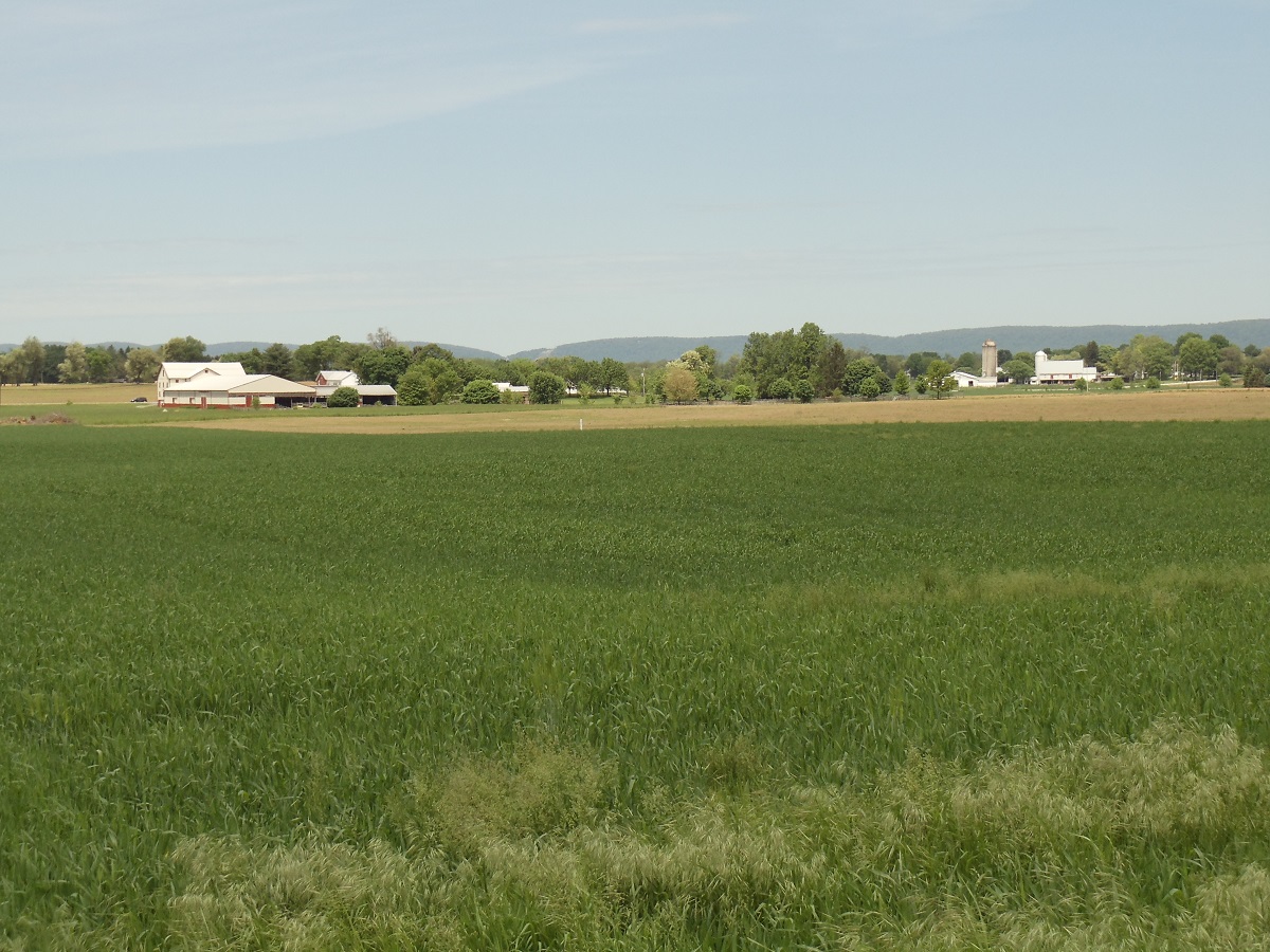
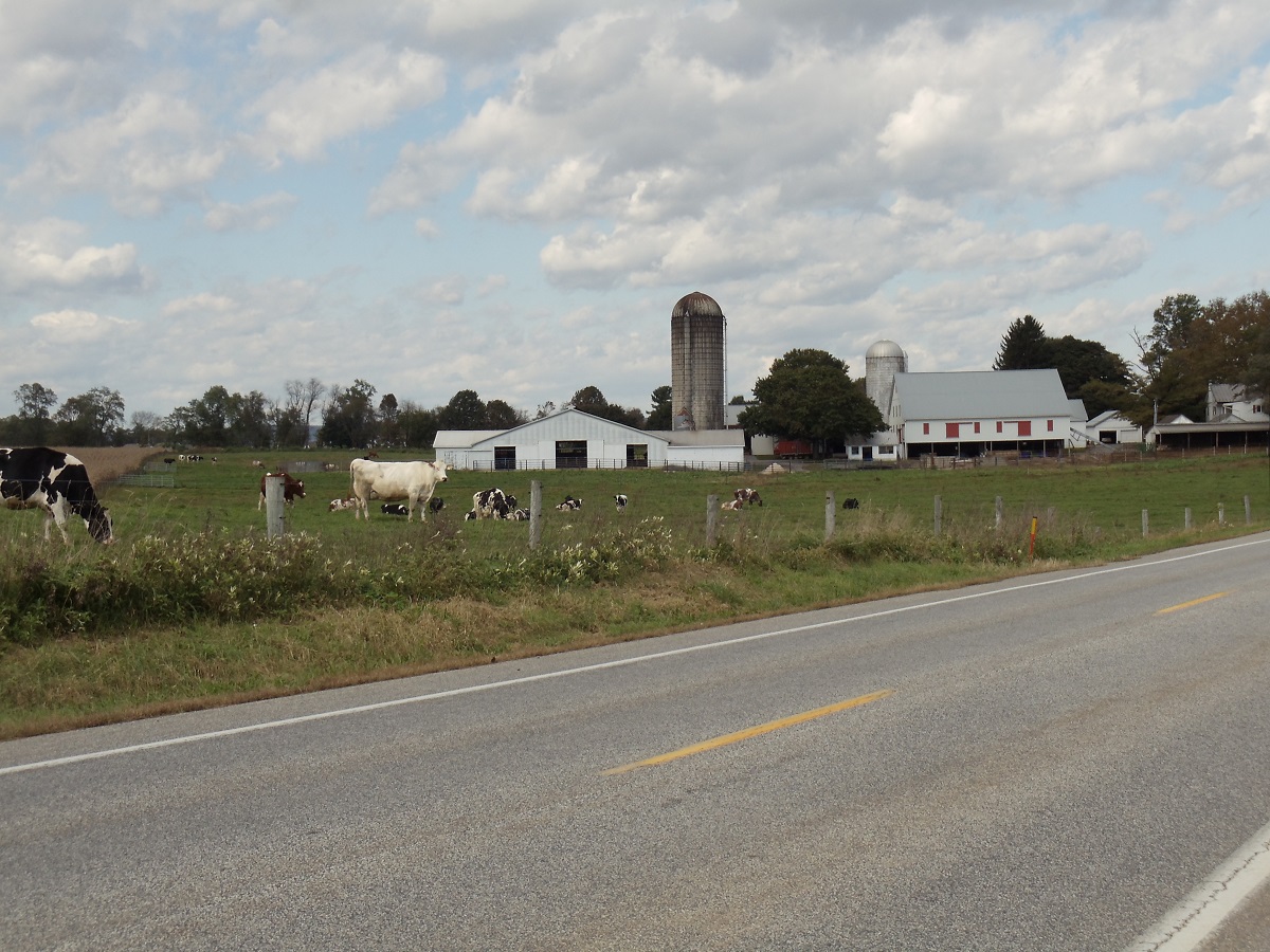
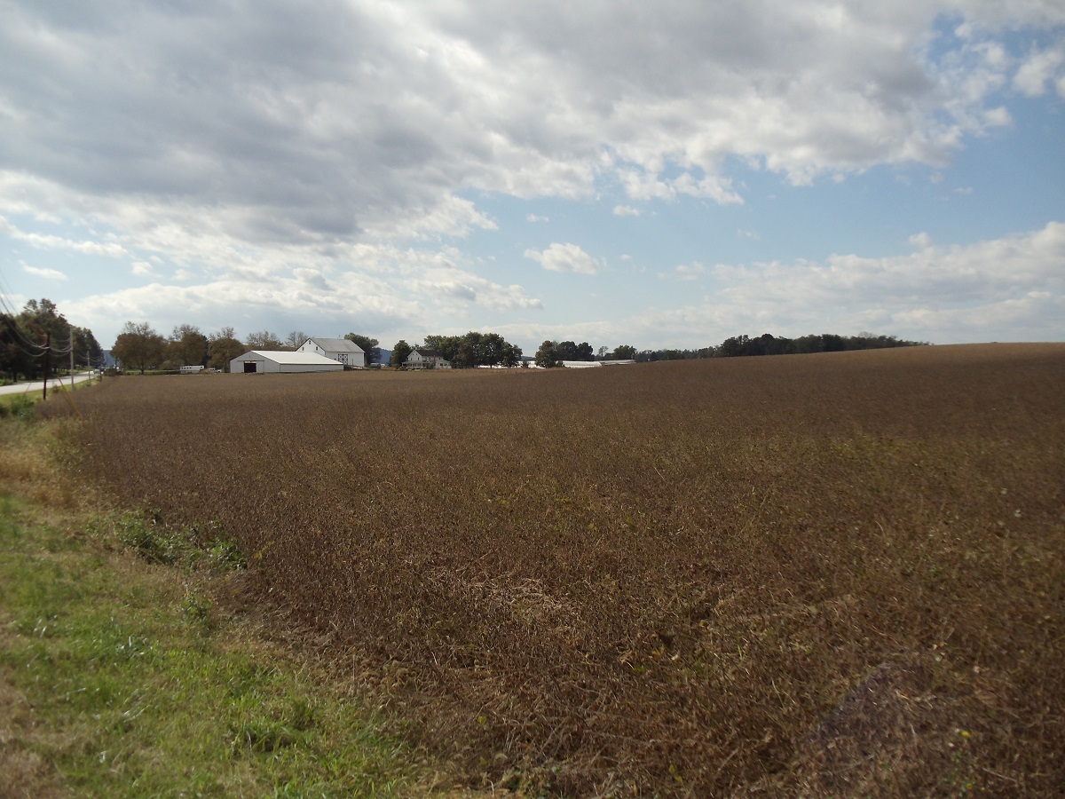
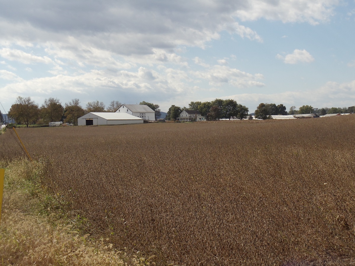
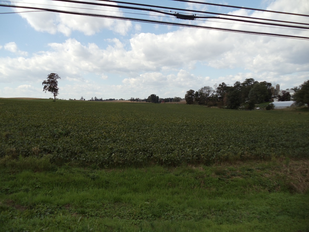
Cumberland County, Pennsylvania
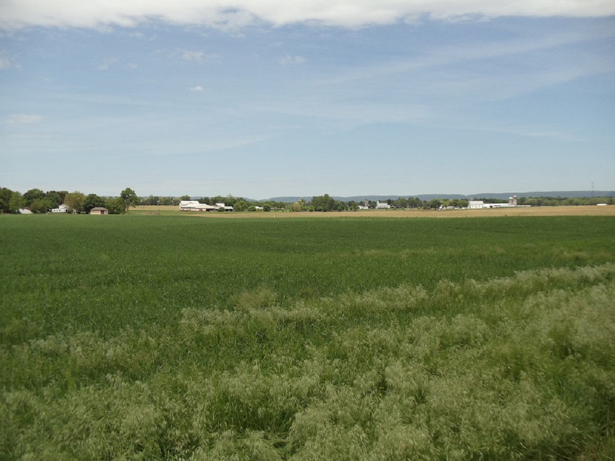
Cumberland County, Pennsylvania's Farming and Agricultural Land.
Starting at just over a mile south from downtown
Mechanicsburg.
|
|
| |
|
|
| |
|
|
| |
|
|
| |
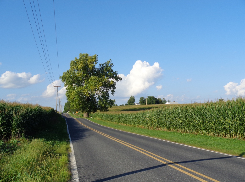
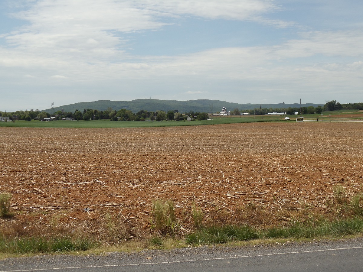
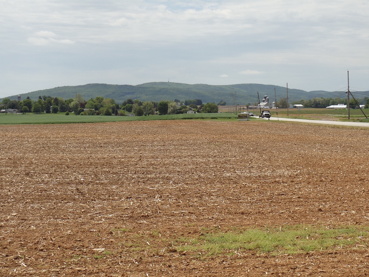
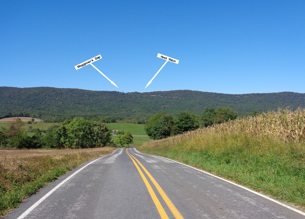
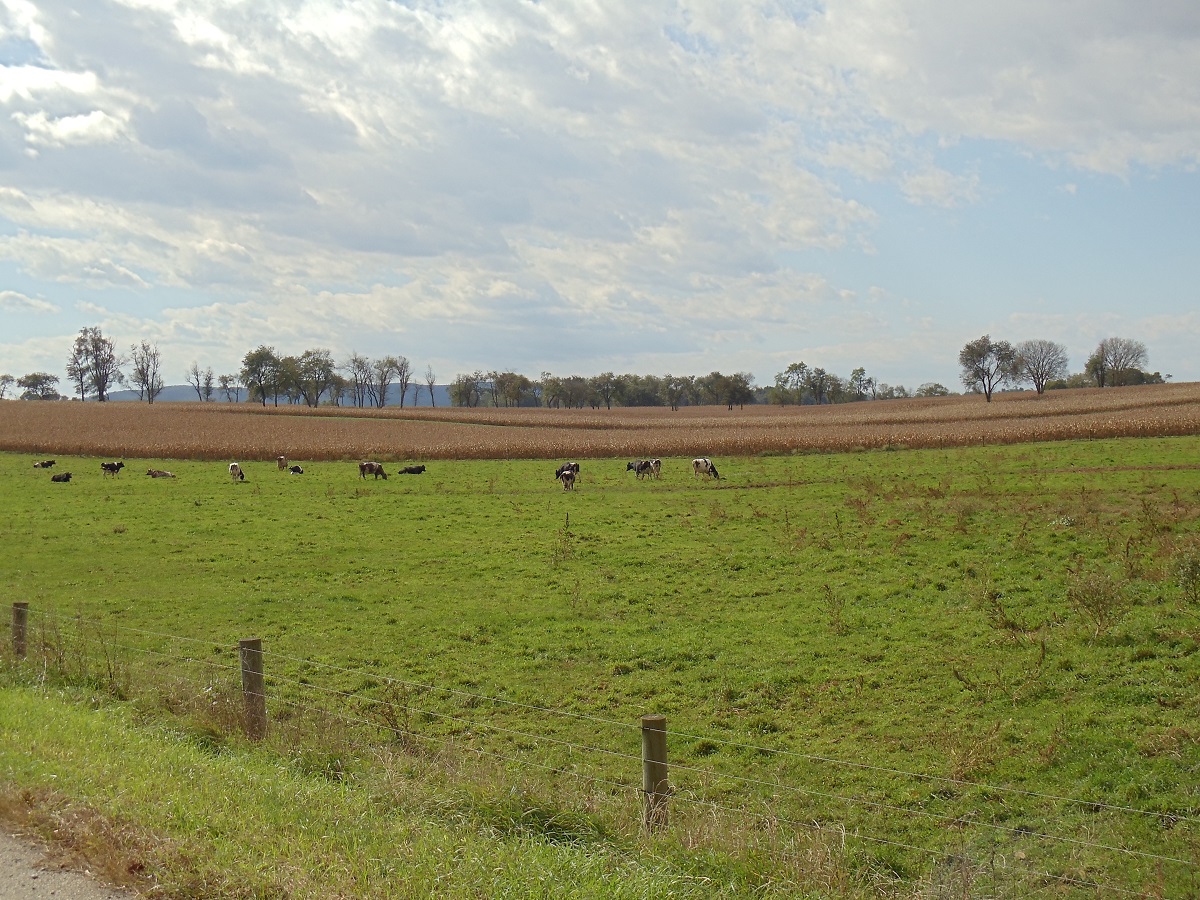
Williams Grove Road, looking north, just outside of
downtown
Mechanicsburg.
|
|
| |
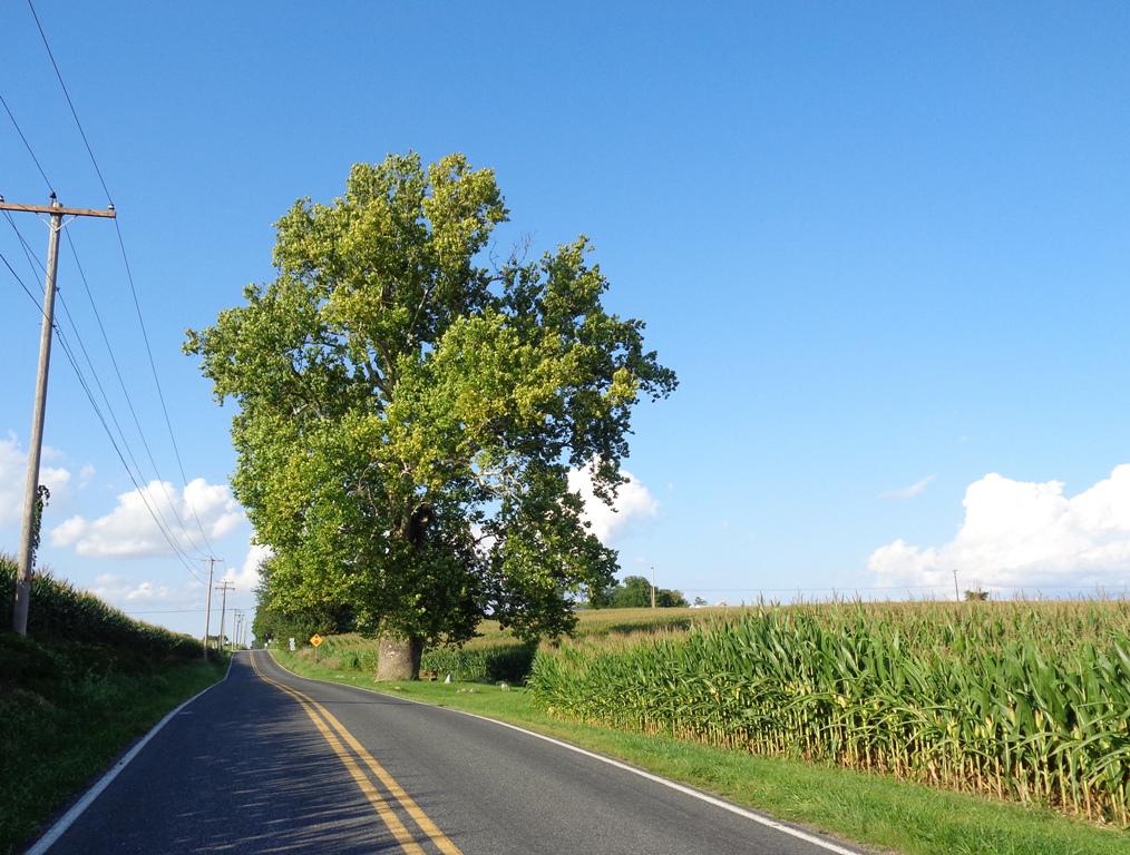
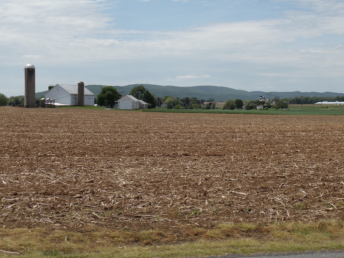
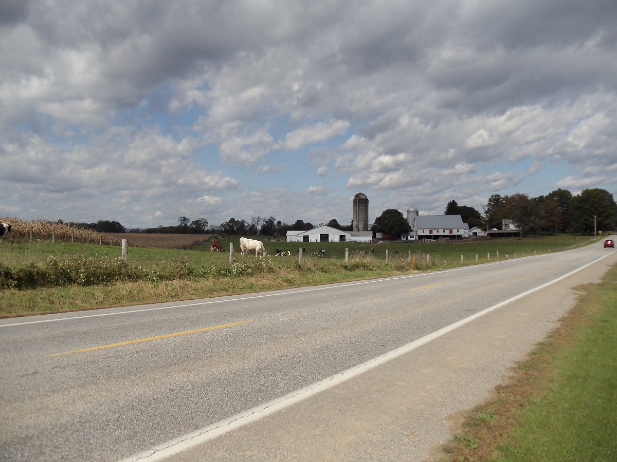
Williams Grove Road, looking south, just outside of
downtown
Mechanicsburg.
|
|
| |
|
|
| |
.jpg)
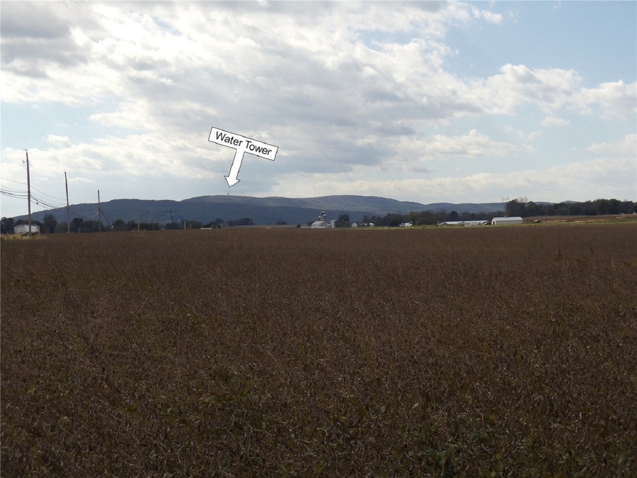
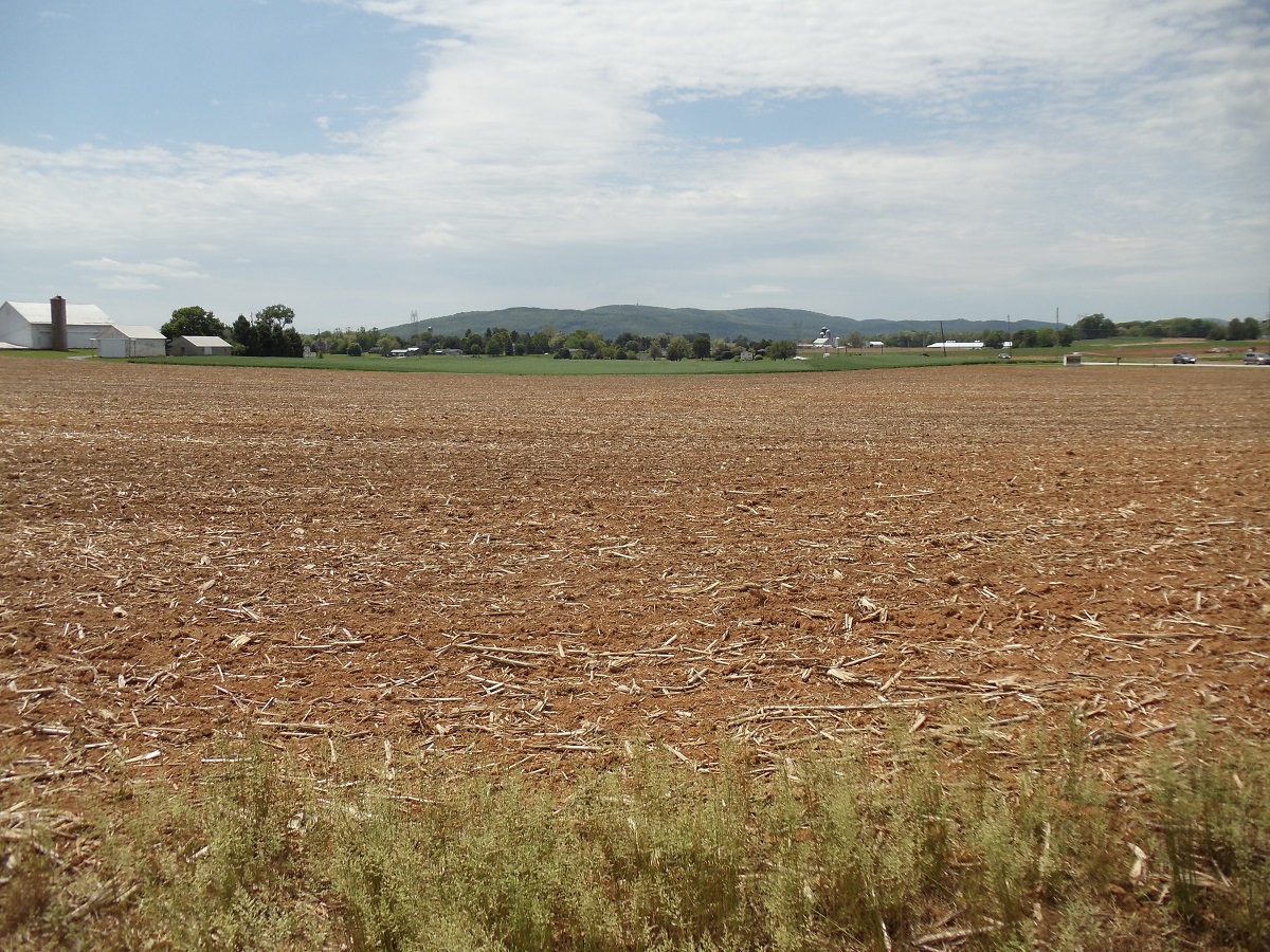
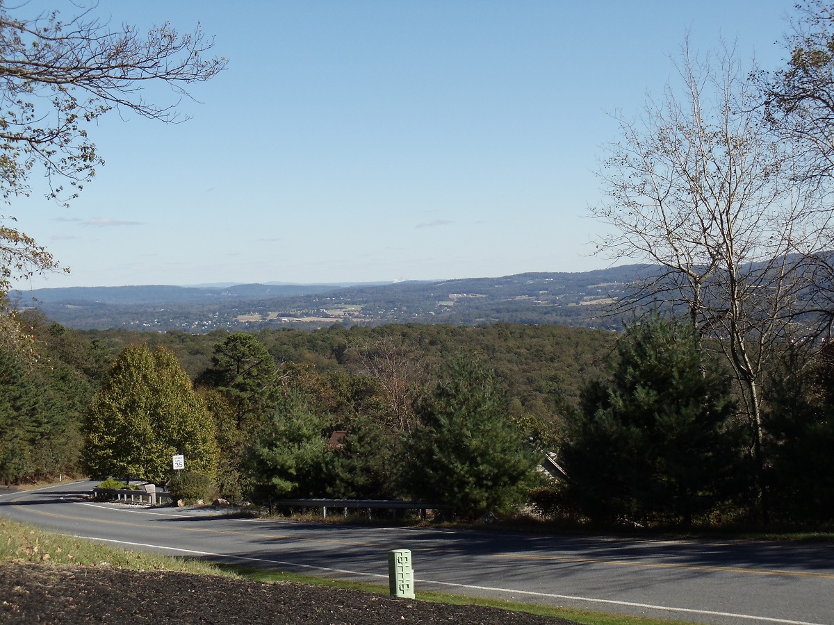
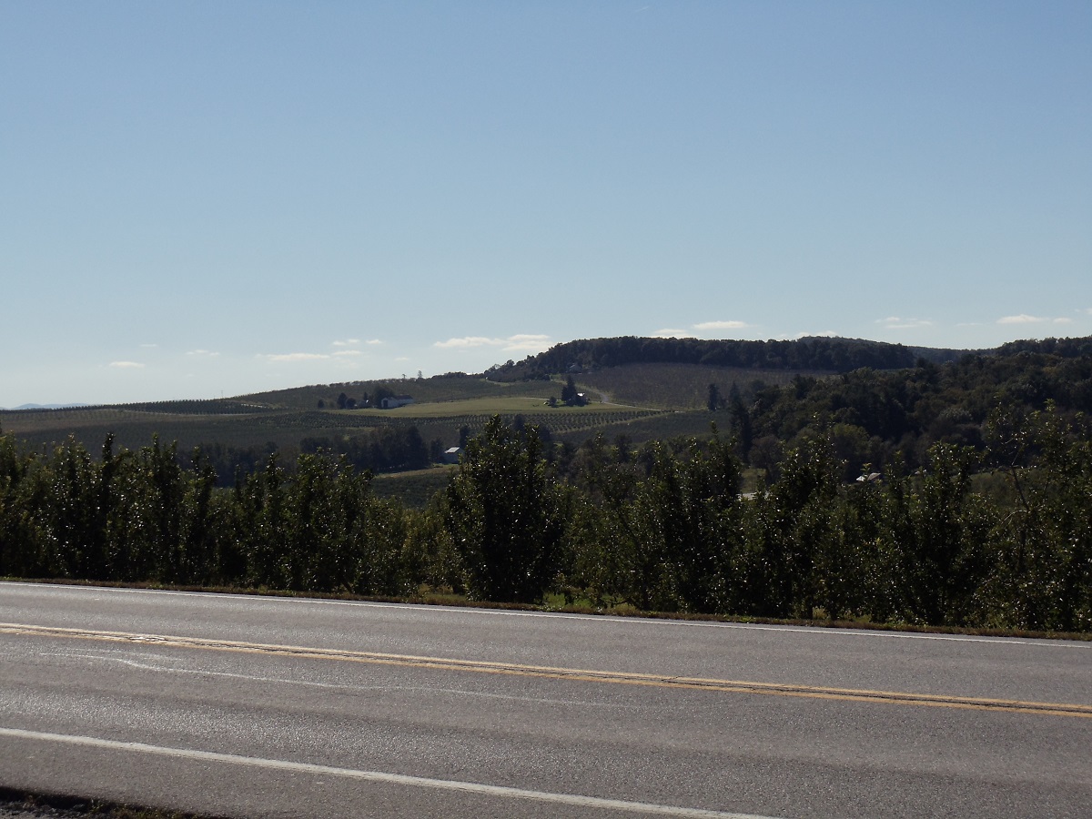
A view off of Williams Grove Road, looking south/southeast, just outside of
downtown
Mechanicsburg.
|
|
| |
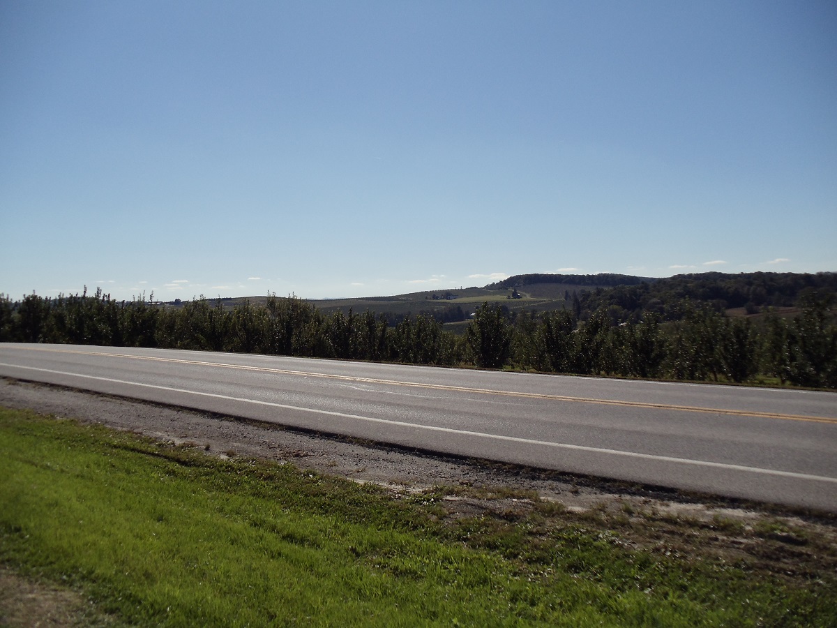
.jpg)
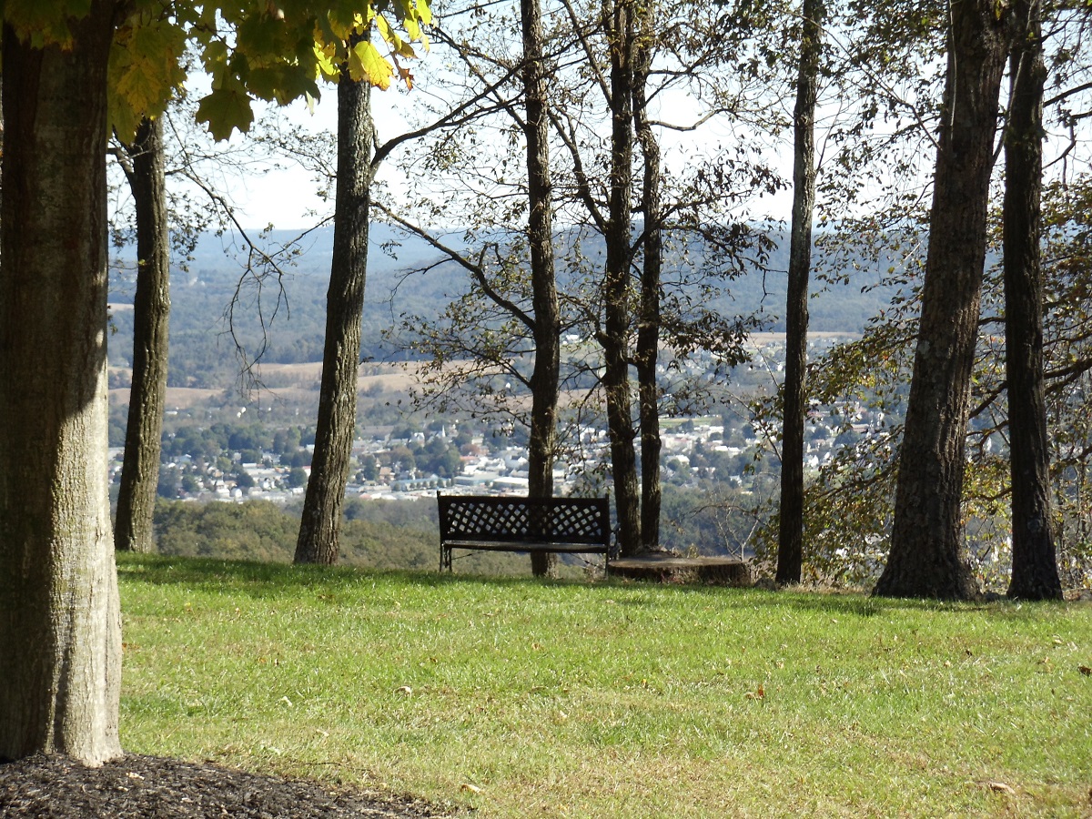
A view off of Williams Grove Road, looking south/southeast, just outside of
downtown
Mechanicsburg.
With Ski RoundTop, in the town of Lewisberry, in
the background about 15-18 miles away.
|
|
| |
|
|